
50 years of trusty service ends for the DOME (DRZ) seismograph site
This month the Department of Conservation (DOC) will be removing the Dome Equipment Shed from Mt Ruapehu. This area has been the home to seismic sensors for over 50 years, recording the heartbeat of Ruapehu Volcano.
During February the Department of Conservation (DOC), with help from the New Zealand Army, will be dismantling the Ruapehu Dome Equipment Shed, located high on Mt Ruapehu. The shed on Dome peak or knoll as it is often referred to is a popular climbing location on Mt Ruapehu and offers great views of the active Crater Lake/Te Wai ā-moe. In the 1960’s an A-frame hut was built on the site and in April 1969 a keen PhD student Ray Dibble (later a Professor at Victoria University) soon ran a cable to the hut and started to record volcanic earthquakes for his study. This installation on Dome was to be the start of a long history of volcanic earthquake and eruption recording on Mt Ruapehu. Seismograph sites are usually known by a 3 or 4 letter code, the Dome site was given the code DRZ (Dome Ruapehu New Zealand).
These first recordings were to come to a fiery and explosive end when at 12:33am on 22 June 1969 a violent eruption occurred through the Crater Lake. The eruption blast and ejected water from the lake blasted and washed the A-frame hut off its foundations, along with the earthquake monitoring equipment. The eruption produced lahars that significantly damaged other buildings on the Whakapapa Ski field, while ashfall also damaged buildings at Iwikau and Whakapapa villages. The site was re-established in March 1974 and was to suffer a similar fate in April 1975 when it was again destroyed by a large and violent volcanic eruption from the Crater Lake.
The summit of Mt Ruapehu after the 1969 eruption, note the lahar path
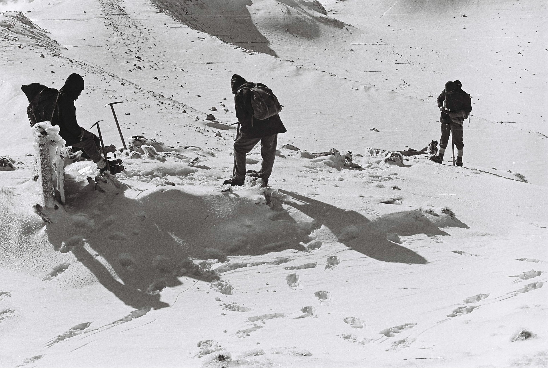
Remains of the Dome A-frame hut after the 1969 eruption
To replace DRZ, but at a slightly safer distance for the equipment, a site was established at the Glacier Shelter Hut (GRZ), about 700 m to the north, further from the lake. The first data was obtained in May 1976 and it continued to work until March 1984. The newly established Dome Shelter Hut, later known as the Dome Equipment Shed, again offered the chance to obtain data closer to the Crater Lake and the equipment was moved to a vault under the new building.
The desire to protect the lives of the skiers on the Whakapapa Ski field also provided the motivation for re-establishing the Dome as a monitoring site. A lahar warning system designed by the Ministry of Works started operation in 1984. It was assumed, based on the eruptions in 1969 and 1975, that the next large eruption would be accompanied by a ‘large’ earthquake (magnitude 3.5 or more), and that the material ejected by the eruption would destroy Dome Shelter. The Dome Shelter was critical to this two stage process: detection of a large earthquake and subsequent loss of signal from the Dome due to its destruction.
Unfortunately, this failed to occur during the eruption on 8 December 1988, when the eruption blast by-passed the hut, while in September-October 1995 and June-July 1996 the Dome Shelter Hut was to prove too strong. It protected the equipment and the signal from Dome was not lost!
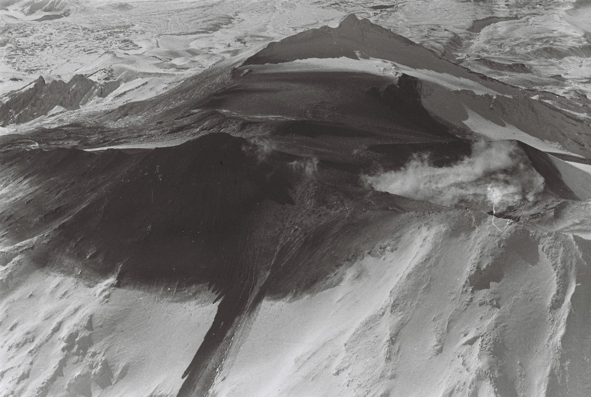
Dome Shelter area in 1996 after the eruption started
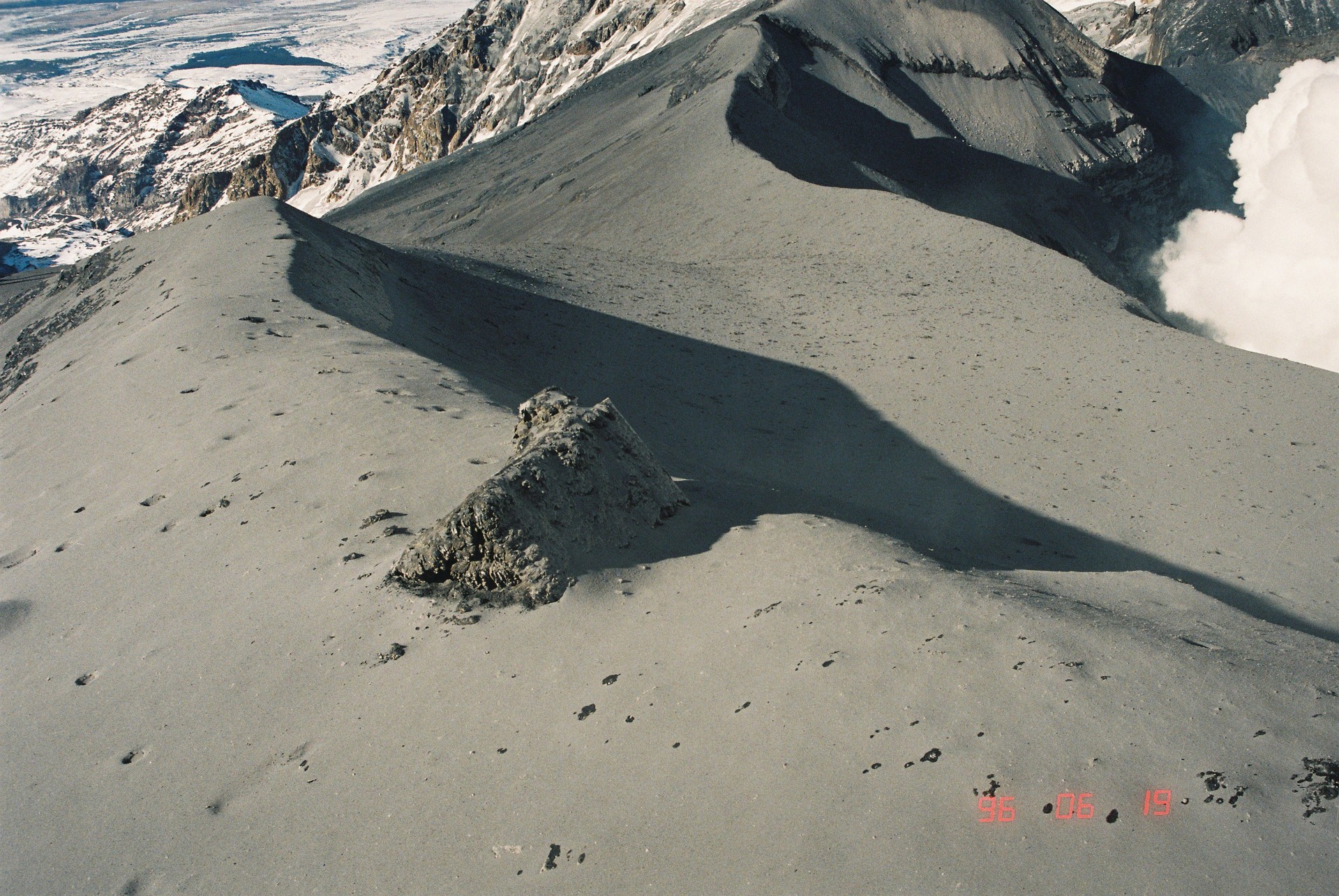
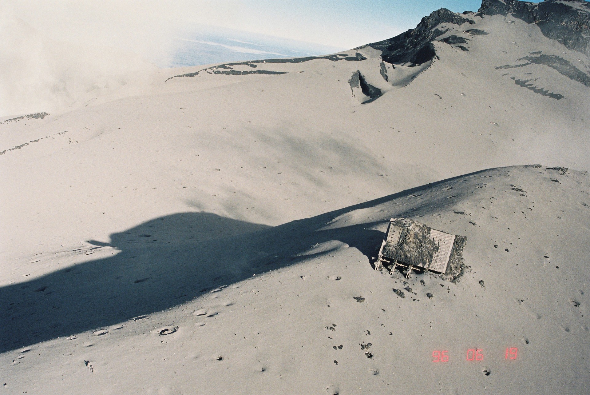
Dome shelter hut on Dome Ridge after the 1996 eruptions
Based on lessons learnt from these eruptions a revised lahar warning system was designed that did not require Dome Shelter to be destroyed, and also used data recorded at other seismic monitoring sites at Ruapehu. This system became known as the Eruption Detection System (EDS) and was later renamed to REDS (Ruapehu Eruption Detection System) operated by Ruapehu Alpine Lifts (RAL) and DOC. The system uses data from the GeoNet equipment.
In February 2008 work commenced on a replacement equipment site at Matarangi (MAVZ), and it was commissioned in 2012 as the replacement for Dome. Dome (DRZ) continued to operate for a few more years though, the idea being to obtain a few years of data from both sites before Dome was removed. In November 2017, the GeoNet techs turned off the Dome site and removed the equipment. This marked the end of over 50 years of volcano earthquake data recording from the Dome area. The site has endured typical high alpine conditions, lots of ice and snow, along with several moderate sized violent volcanic eruptions since 1966. The largest was in 1995-1996 and the most recent was in September 2007.
The signals generated by volcanic processes, like all earthquake signals, get smaller with distance from the source. Hence the desire of our New Zealand volcano seismologists has been to obtain data from as close as possible to the crater, which captures the best possible information. Having some form of building has helped in this endeavour. To overcome some of the data degradation at the new Matarangi site the GeoNet team has placed the sensors down a drill hole to improve the data quality and protect it from eruptions.
High altitude sites are not without their problems, mainly how do you get the data out, how do you charge the batteries (solar panels do not work)? We have used both cables and radios for data transmission, with the radios proving the best overall. The power supply has been maintained by cycling charged batteries in the early days until a generator was installed in the shed, this providing the most reliable power source. Thank you DRZ (Dome) for your long and memorable service.