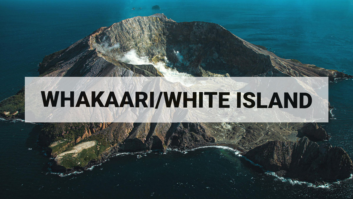
Whakaari/White Island: No further volcanic ash emission or gas signals, Volcanic Alert Level remains at Level 2.
Web camera images from Whakaari/White Island have shown that the minor, passive ash emission from the crater on Sunday 18 September 2022 has not persisted. The strong sulphur dioxide (SO2) gas signal associated with that ash has not been seen since. The Volcanic Alert Level remains at 2.
The minor, passive ash emission from an active vent behind the crater lake at Whakaari/White Island observed on Sunday 18 September has not been seen since. Our North Rim web camera continues to produce views of the crater area and regular checks by our National Geohazards Monitoring Centre have failed to see any ash emission. Observations from the TropOMI satellite which images sulphur dioxide (SO2) once a day has not shown any signals from Whakaari/White Island since Sunday 18 September.
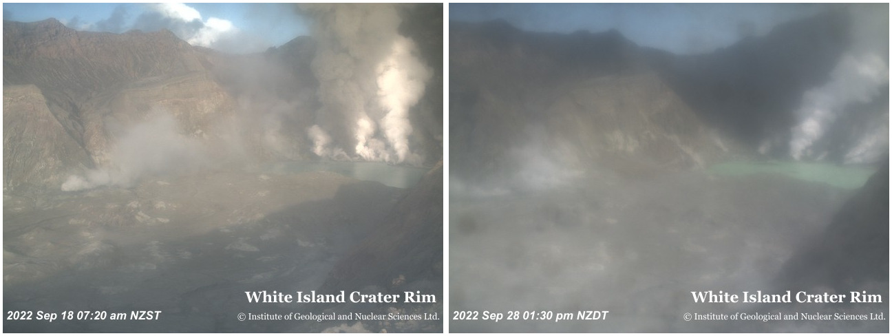
View from North Rim camera on Sunday September 18 (left) showing brown ash emission from an active vent, and Wednesday September 28 (right) when no ash was present.
In recent days, images from the North Rim camera have become less clear. This is a normal result of the island’s steam plume drifting over the camera and depositing a thin, salty film on the camera’s protective cover. The images remain clear enough to provide useful views of the active crater area. The thin, salty film will often wash off in the next heavy rain.
We previously suggested that the minor, passive ash emission and sulphur dioxide (SO2) emission on Sunday 18 September was most likely due to a small, shallow batch of magma that released its gas and dragged with it small fragments of the magma. The lack of further ash or sulphur dioxide emission since supports that conclusion. There is no evidence of increasing activity at Whakaari/White Island.
One of our seismic recording sites on Whakaari/White Island started working again on Monday 19 September, but continued for only a day. We do not know why our seismic station started to work again, and do not expect it to resume working in the coming days.
The VAL remains at Level 2 (moderate to heightened unrest), acknowledging the current level of activity, but also continuing to acknowledge the greater level of uncertainty in our interpretation due to the current lack of consistent, useful real-time data. The Aviation Colour Code is lowered to Yellow, which reflects a reduced likelihood of minor ash emissions.
As the weather allows, we will be increasing the frequency of our gas and observation flights to the island until we can service our on-island equipment and power supplies. We still have intermittent access to webcams images from the island, providing some level of visual monitoring between our flights.
The Volcanic Alert Level reflects the current level of volcanic unrest or activity and is not a forecast of future activity. While Volcanic Alert Level 2 is mostly associated with volcanic unrest hazards (including discharge of steam and hot volcanic gases, earthquakes, landslides, and hydrothermal activity), potential for eruption hazards also exists and eruptions can still occur with little or no warning.
Further information about the Volcanic Alert Levels and what they mean can be found here.
GNS Science’s National Geohazards Monitoring Centre and Volcano Monitoring Group, through the GeoNet programme, continue to monitor Whakaari/White Island for further changes in unrest.
Steven Sherburn
Acting Duty Volcanologist
Media Contact: 021 574541 or media@gns.cri.nz