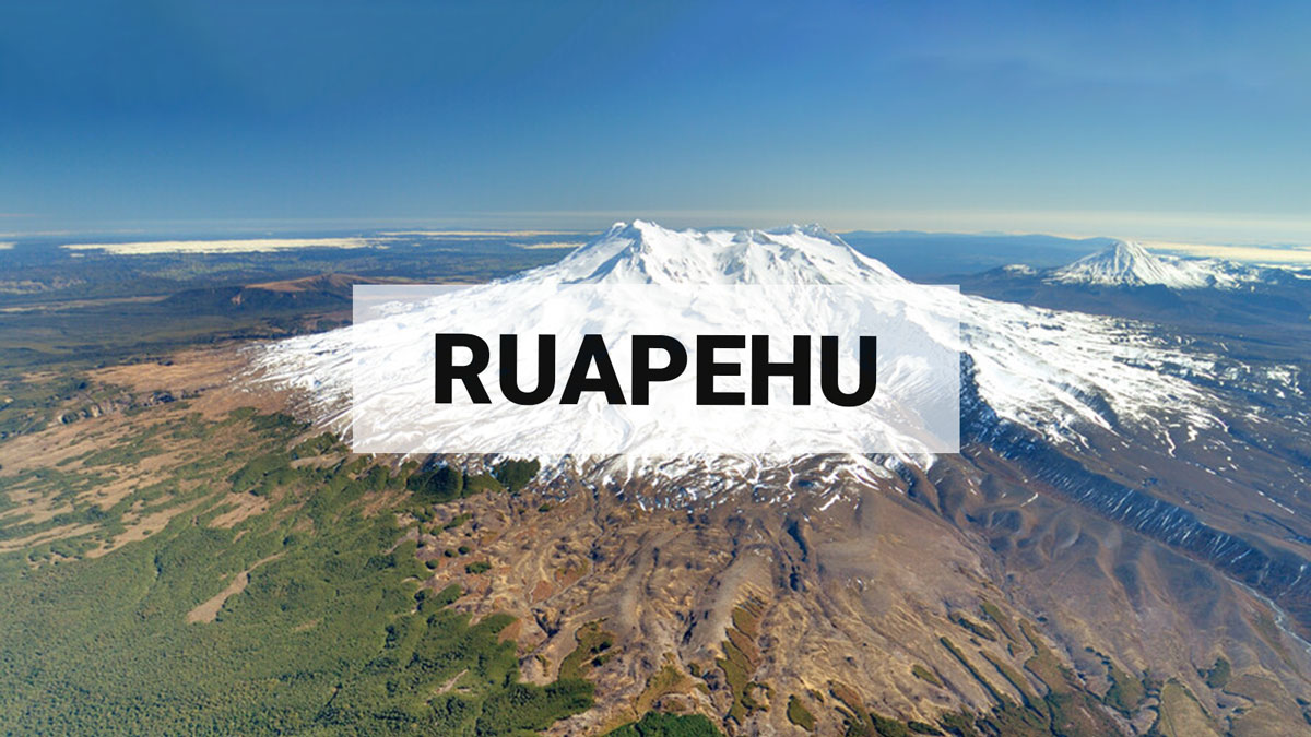
Volcanic unrest continues at Mt Ruapehu as gas emissions remain elevated. The Volcanic Alert Level remains at Level 2.
Gas emissions are still elevated at Mt Ruapehu. The Crater Lake (Te Wai ā-moe) temperature has declined over the past week. Volcanic tremor levels have generally declined but remain variable. Volcanic unrest continues at Mt Ruapehu and the potential for eruptive activity remains. The Volcanic Alert Level remains at 2.
The decline in volcanic tremor levels at Mt Ruapehu has continued but tremor remains elevated compared to quieter periods at the volcano and is variable in strength.
The crater lake temperature has decreased from a peak of 41 °C on 8 May 2022 to 30 °C today. The heavy rainfall last week caused a temporary rise in lake level and a drop in lake temperature. The lake level has now returned to the normal pre-rainfall level, while the lake continues to cool indicating a general decrease in the amount of heat entering the lake.
Our latest gas measurement flight on 13 May 2022 confirmed high sulphur dioxide (SO2) and carbon dioxide (CO2) gas output of 179 and 1658 tonnes per day of gas, respectively. New instruments installed to automatically measure SO2 gas emissions from the volcano confirm that these remain elevated for Mt Ruapehu. Continued emission of SO2 is indicative of gas released from relatively shallow magma and suggests the volcano is still at a heightened level of unrest.
In summary, gas emissions remain elevated with generally decreasing but still variable levels of volcanic tremor, and a fall in lake temperature. These observations are consistent with a slowing down or stalling of the magma intrusion in the volcano. The period of heightened volcanic unrest continues at Mt Ruapehu and the potential for eruptive activity remains.
Within the next four weeks, the most likely outcome of this unrest episode is minor eruptive activity that is confined to the lake basin, or no eruption. Minor eruptions may generate lahars (dangerous volcanic mudflows) in the Whangaehu River.
The next most likely scenario is a larger eruption that impacts the summit plateau with volcanic surges. It could generate lahars in multiple catchments, like what was seen after the September 2007 eruption, or older events like those in 1969. An eruption of this size would cause life-threatening hazards on the summit plateau and in valleys impacted by lahars.
The chance of a prolonged eruptive episode or a larger eruption, such as occurred in 1995-96 with wider ashfall impacts, is higher than it was two months ago, but within the next four weeks remains very unlikely. Such an eruption would most likely only follow a sequence of smaller eruptions.
Due to the heightened volcanic unrest, GNS Science staff are carrying out more frequent aerial observations and gas measurements when weather conditions are suitable.
Our interpretation of the observational data and activity is consistent with elevated volcanic unrest at the heightened level and therefore the Volcanic Alert Level remains at Level 2. The Aviation Colour Code remains at Yellow.
Mt Ruapehu is an active volcano and has the potential to erupt with little or no warning when in a state of elevated volcanic unrest.
The Volcanic Alert Level reflects the current level of elevated volcanic unrest. The Volcanic Alert Level should not be used to forecast future activity. However, at Volcanic Alert Level 2, eruptions are usually more likely than at Volcanic Alert Level 1.
Volcanic Alert Level 2 indicates the primary hazards are those expected during volcanic unrest; steam discharge, volcanic gas, earthquakes, landslides and hydrothermal activity. While Volcanic Alert Level 2 is mostly associated with volcanic unrest hazards, eruptions can still occur with little or no warning. Volcanic Alert Levels 3, 4 and 5 are reserved for eruptions with varying impact distances.
For information on access to the Mt Ruapehu area, please visit the Department of Conservation’s websites on volcanic risk in Tongariro National Park in Tongariro National Park and follow the DOC Tongariro Facebook page for further updates.
For information about responding to volcanic activity there are guidelines from the National Emergency Management Agency (https://getready.govt.nz/emergency/volcanic-activity/).
GNS Science and its National Geohazards Monitoring Centre continue to closely monitor Mt Ruapehu for further changes.
Yannik Behr
Duty Volcanologist
Media Contact: 021 574 541 or media@gns.cri.nz