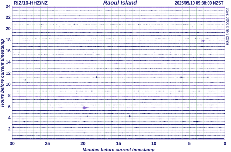
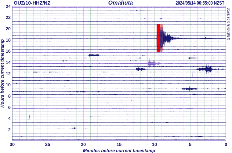
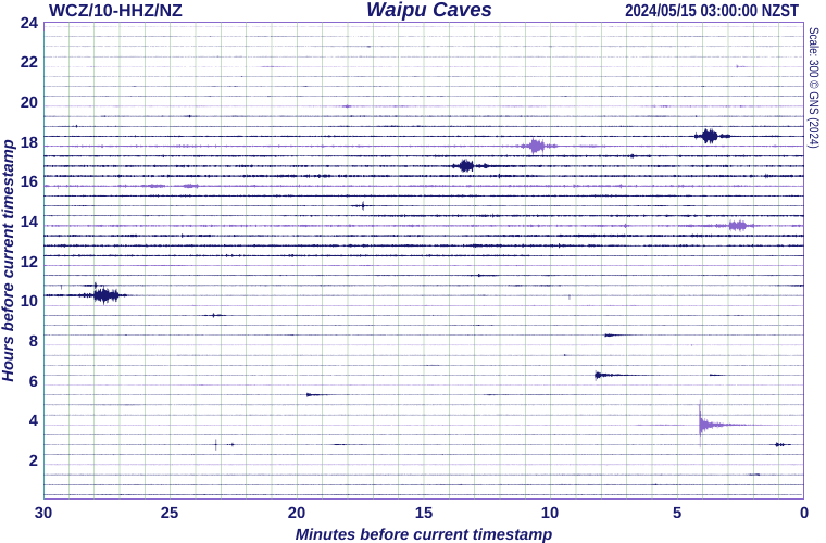
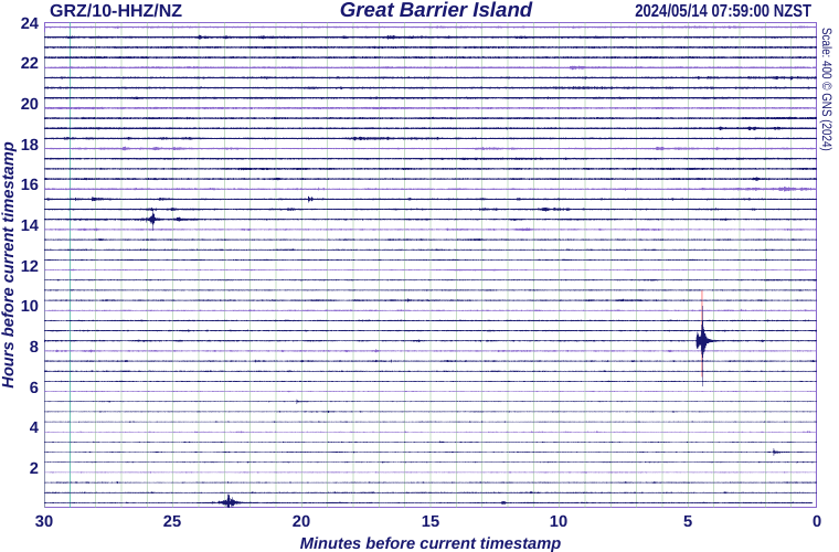
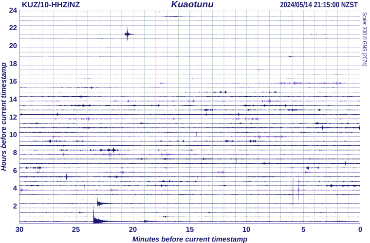
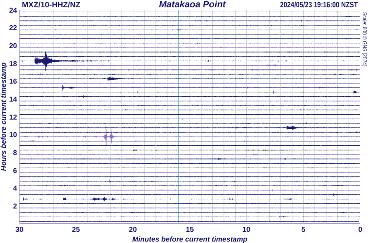
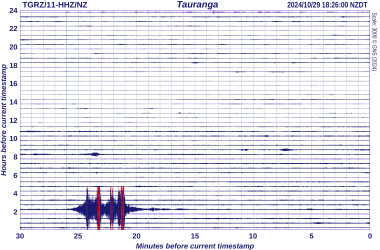
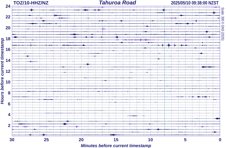
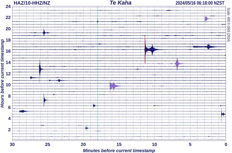
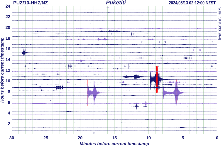
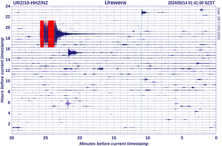
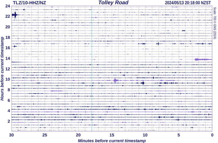
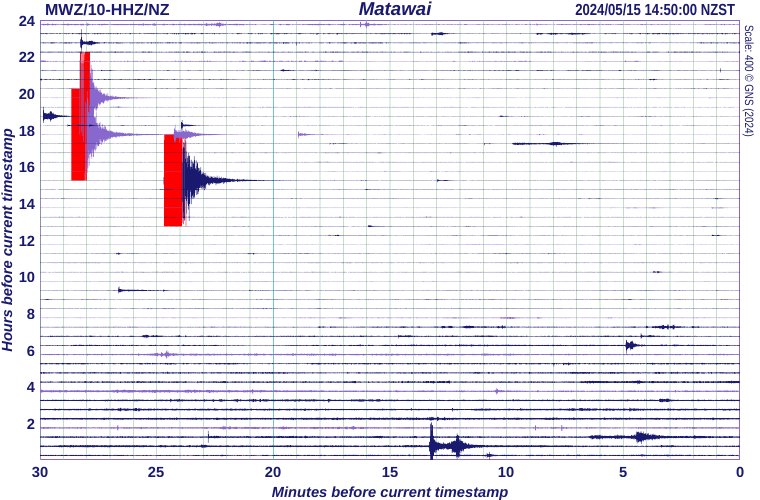
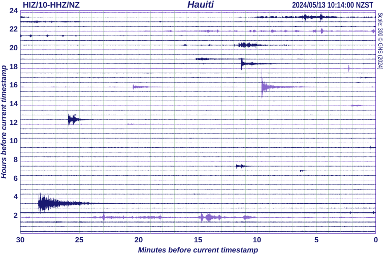
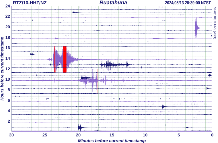
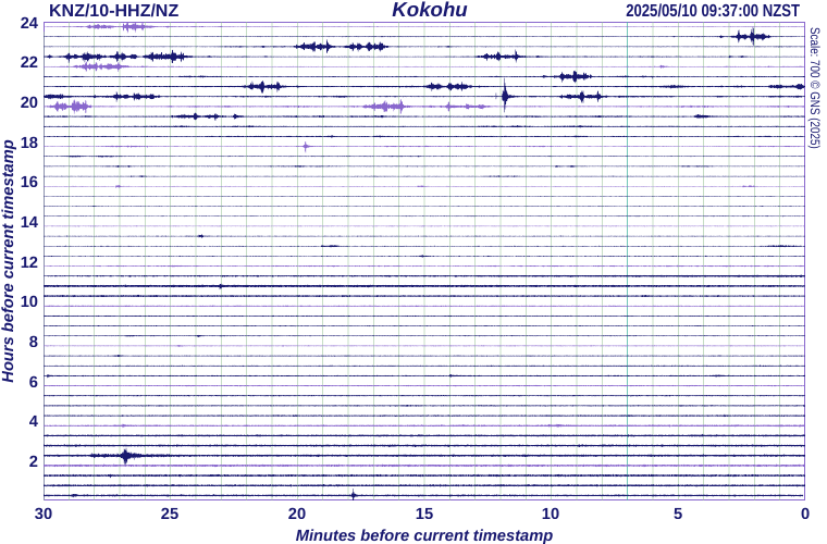
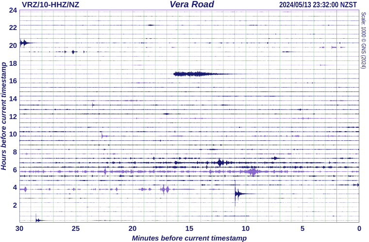
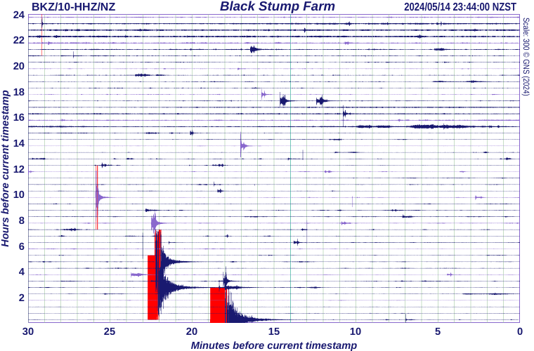
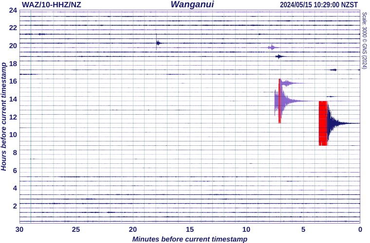
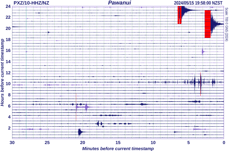
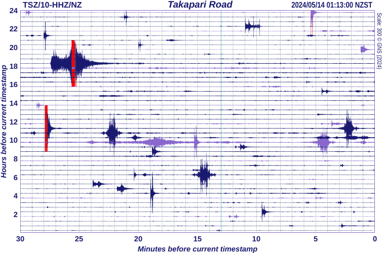
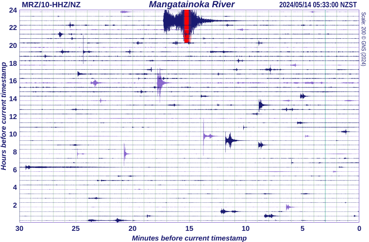
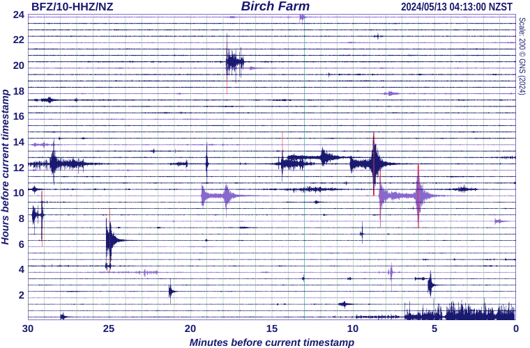
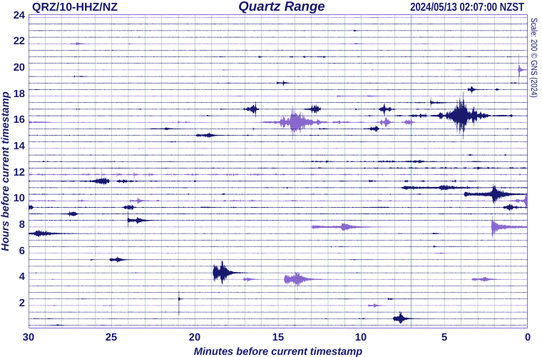
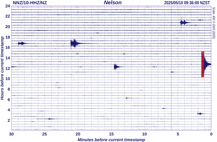
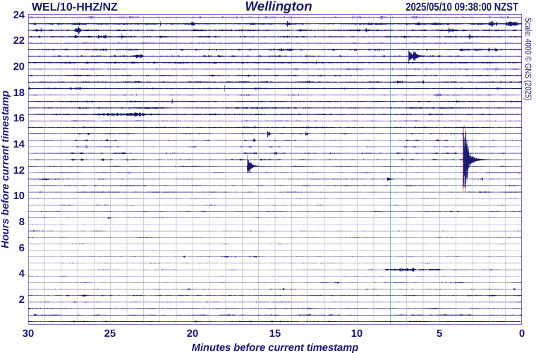
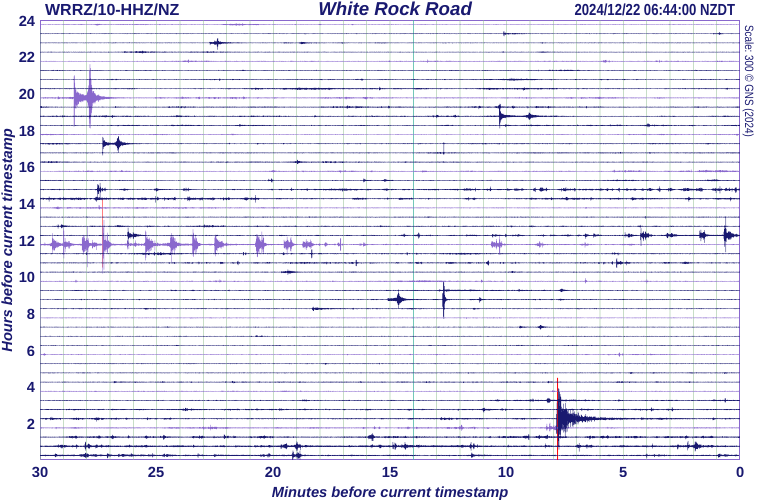
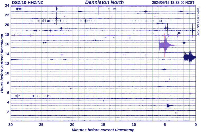
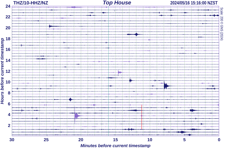
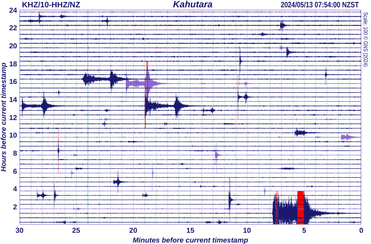
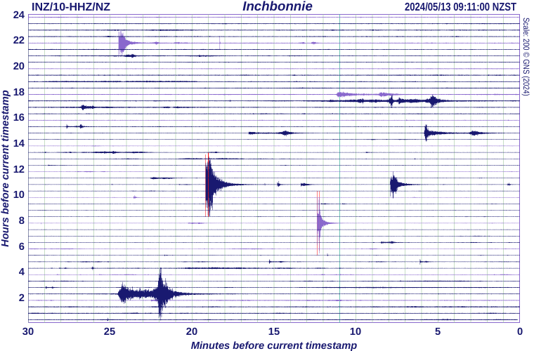
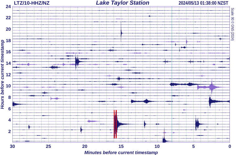
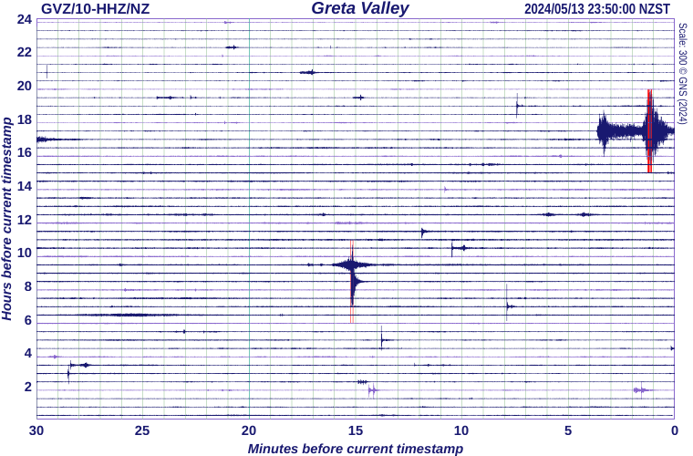
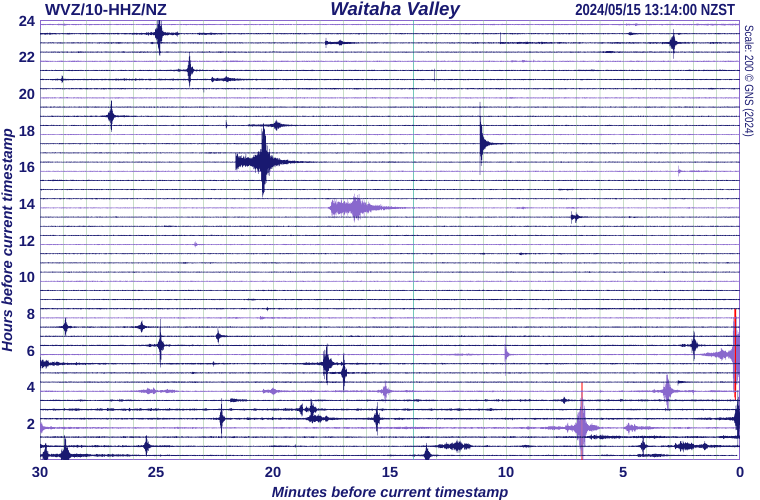
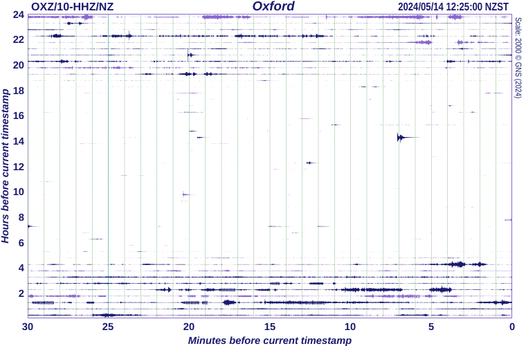
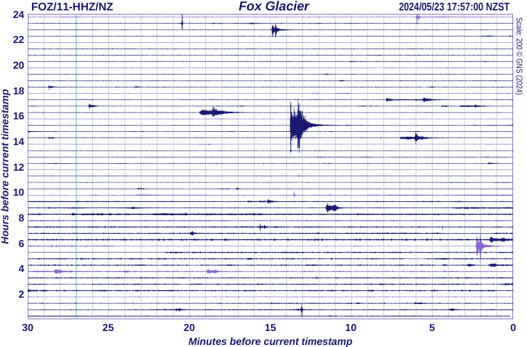
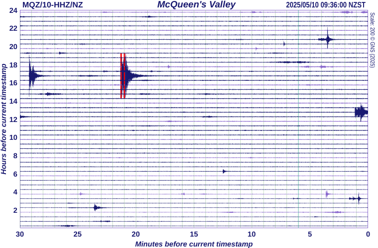
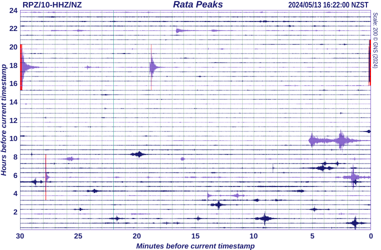
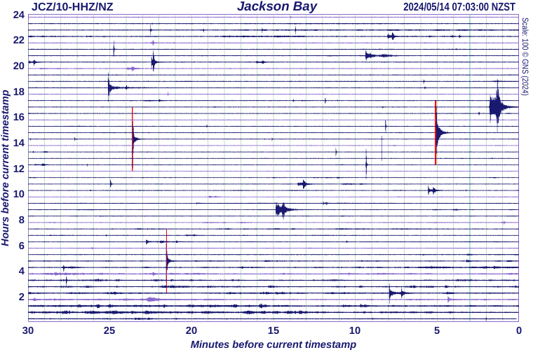
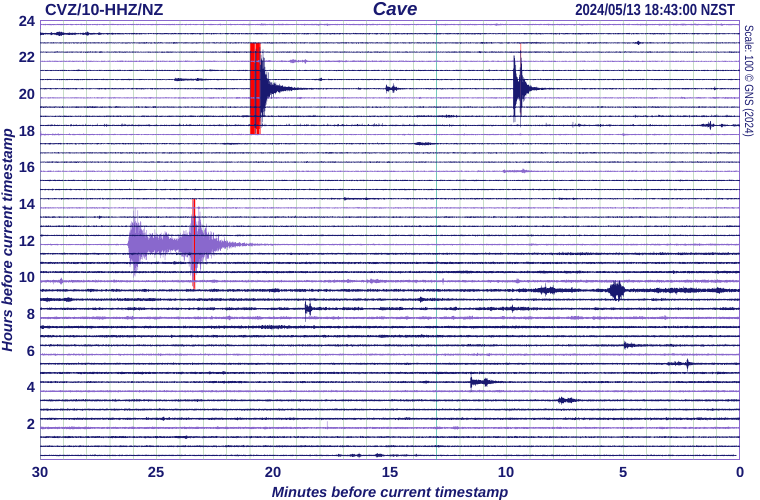
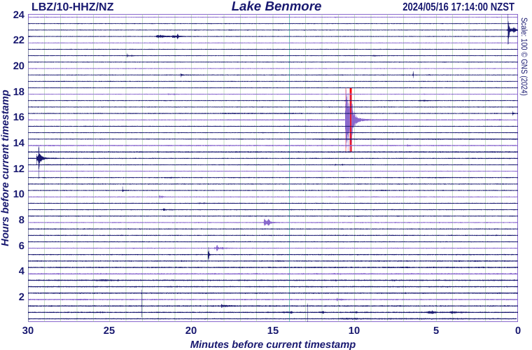
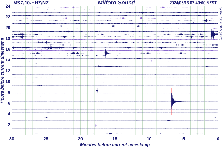
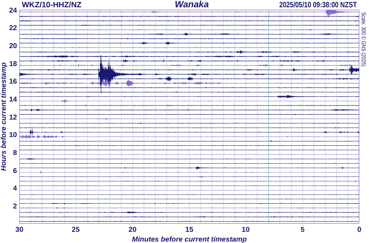
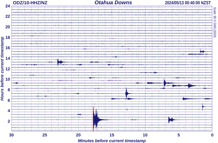
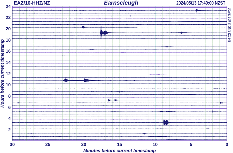
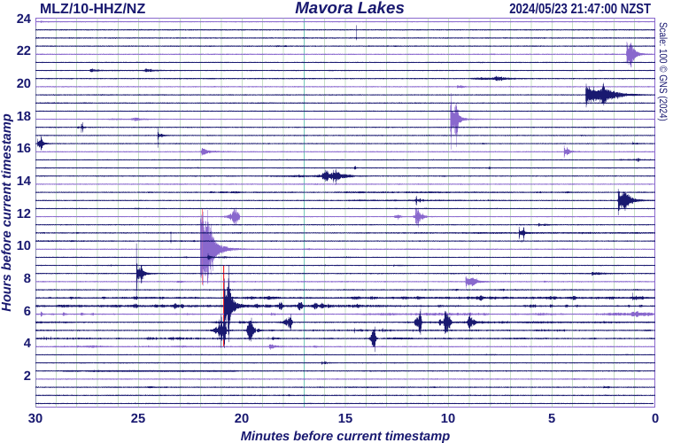
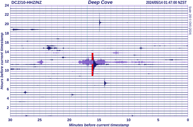
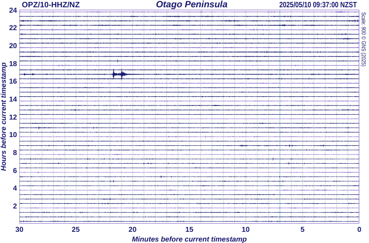
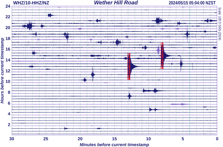
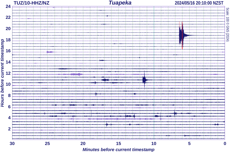
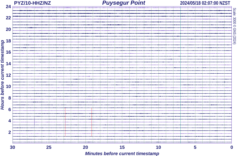
Earthquake Drums
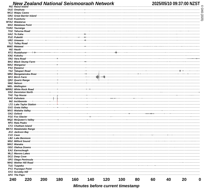
The timestamp shown at the top right of the seismograph drum shown above is the time when this image was last refreshed. The previous four hours (240 minutes) of seismic signals (also known as traces) from all New Zealand National Seismograph Network recording sites are displayed, oldest to most recent from left to right. The stations are ordered from north to south. Earthquakes that have been felt would usually feature on several of these traces within minutes of each other. However, not all earthquakes that are widely recorded on these traces are felt by people.
- Seismographs that are not operating correctly are displayed with red traces.
- As there are several different models of seismometer in use, it is not possible to directly compare the amplitudes (heights) of the traces.