
Tech Tales: On board the Tangaroa
NIWA’s mighty research vessel, the Tangaroa, left the Wellington port last weekend headed due North for the Hikurangi Plate boundary. There were a few GeoNet members on board so, naturally, we were curious as to how the voyage was trekking.
We caught up with Andrew Cowie our Field Operation Technician-come sailor-come photographer (quite the skillset there, Andrew) and learned about the work being done.
The short and sweet is this:
The aim is to understand more about the earthquake and tsunami risk to the East Coast of New Zealand.
“The scientists are trying to build a better picture of the ocean part of the continental shelf and what’s happening on the other side of the trench” – that’s a quote from Andrew.
As it turns out, this section of our continent and unique part of the world has attracted some international attention from Japan and the US - COOL - and Andrew is getting right amongst it all, and helping to generate some interesting science. The deep sea pressure gauges that you see below are used to detect any uplift on the continental shelf.
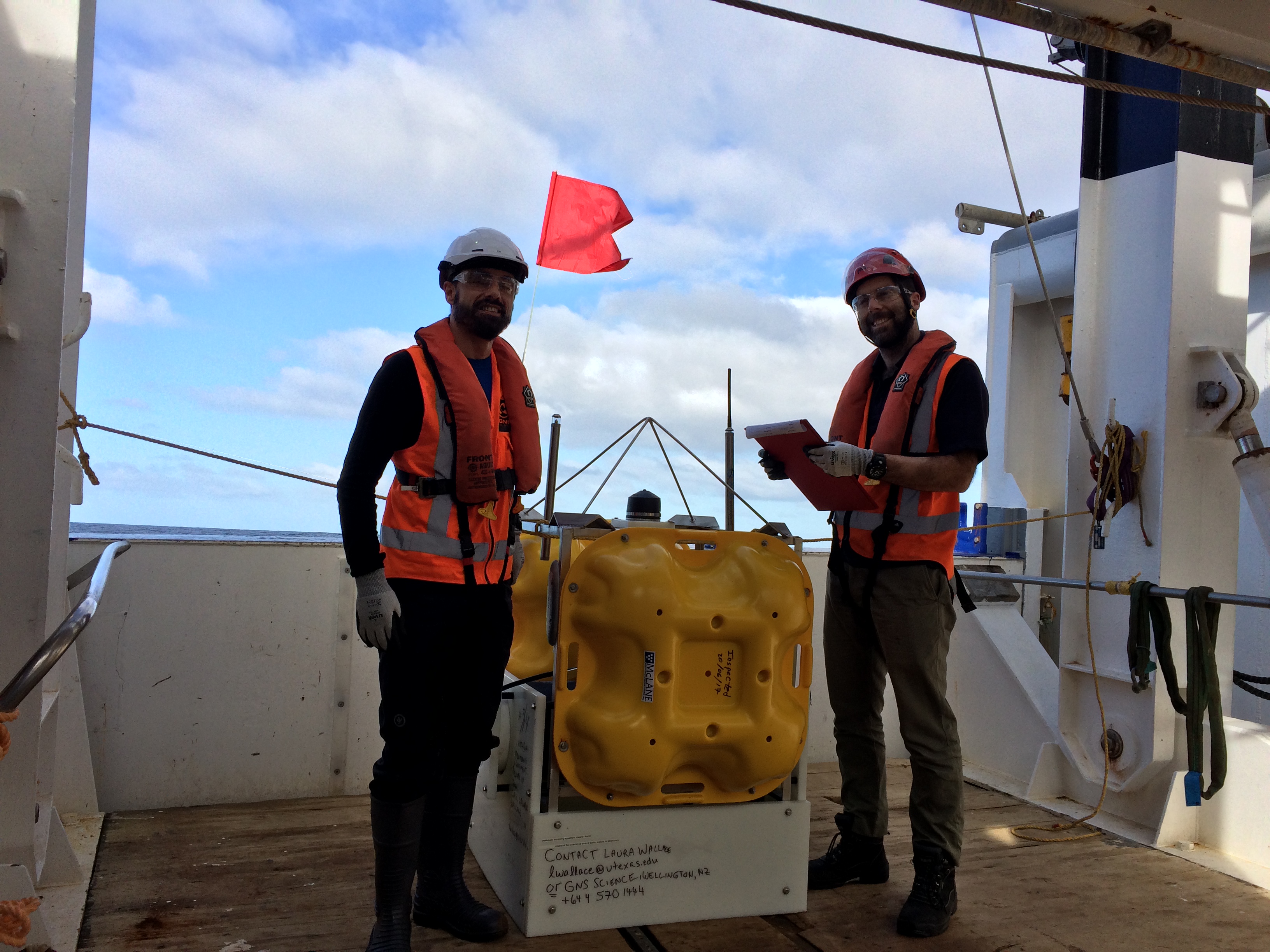
Andrew and friends
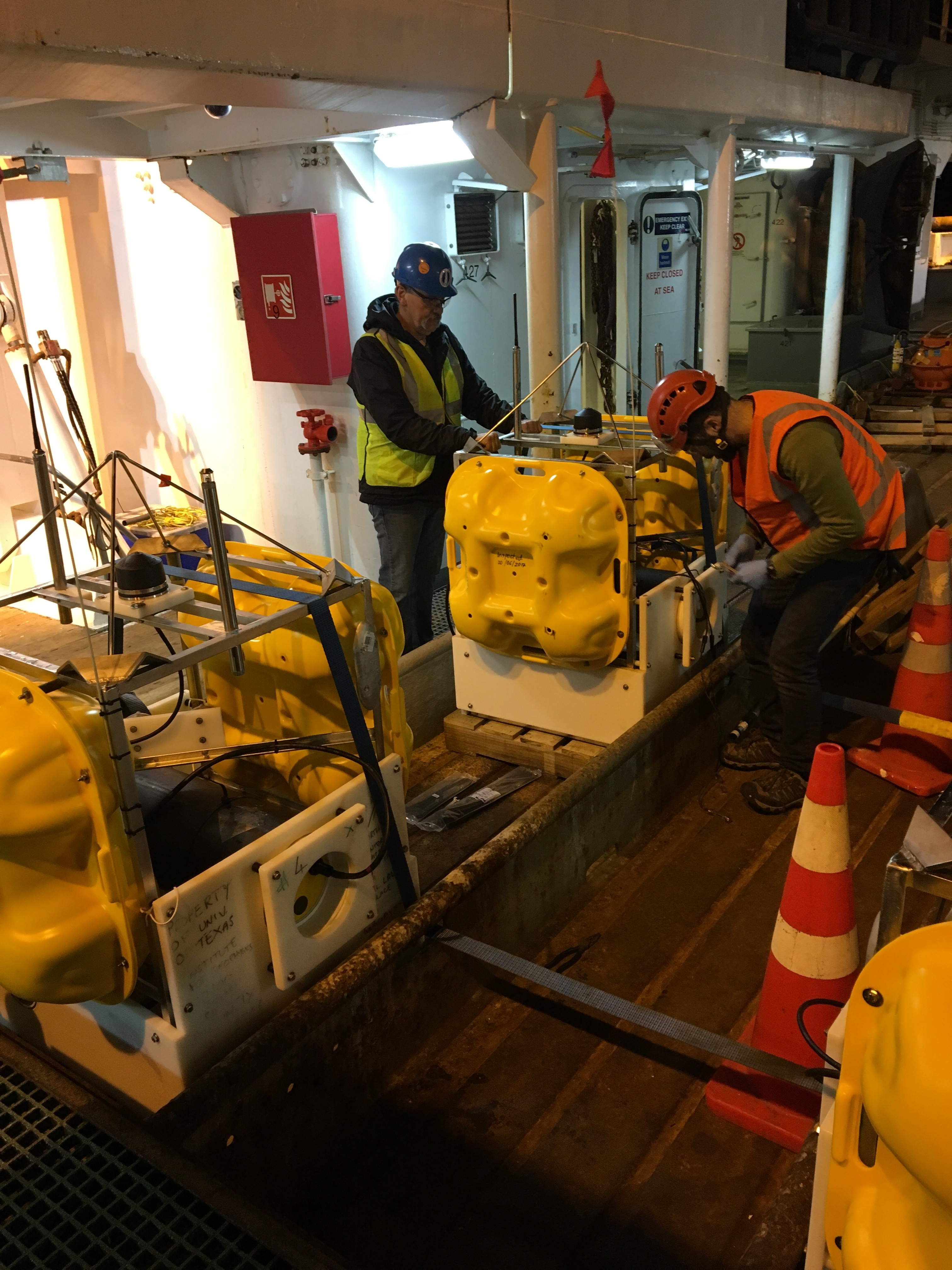
It's all smiles from the crew
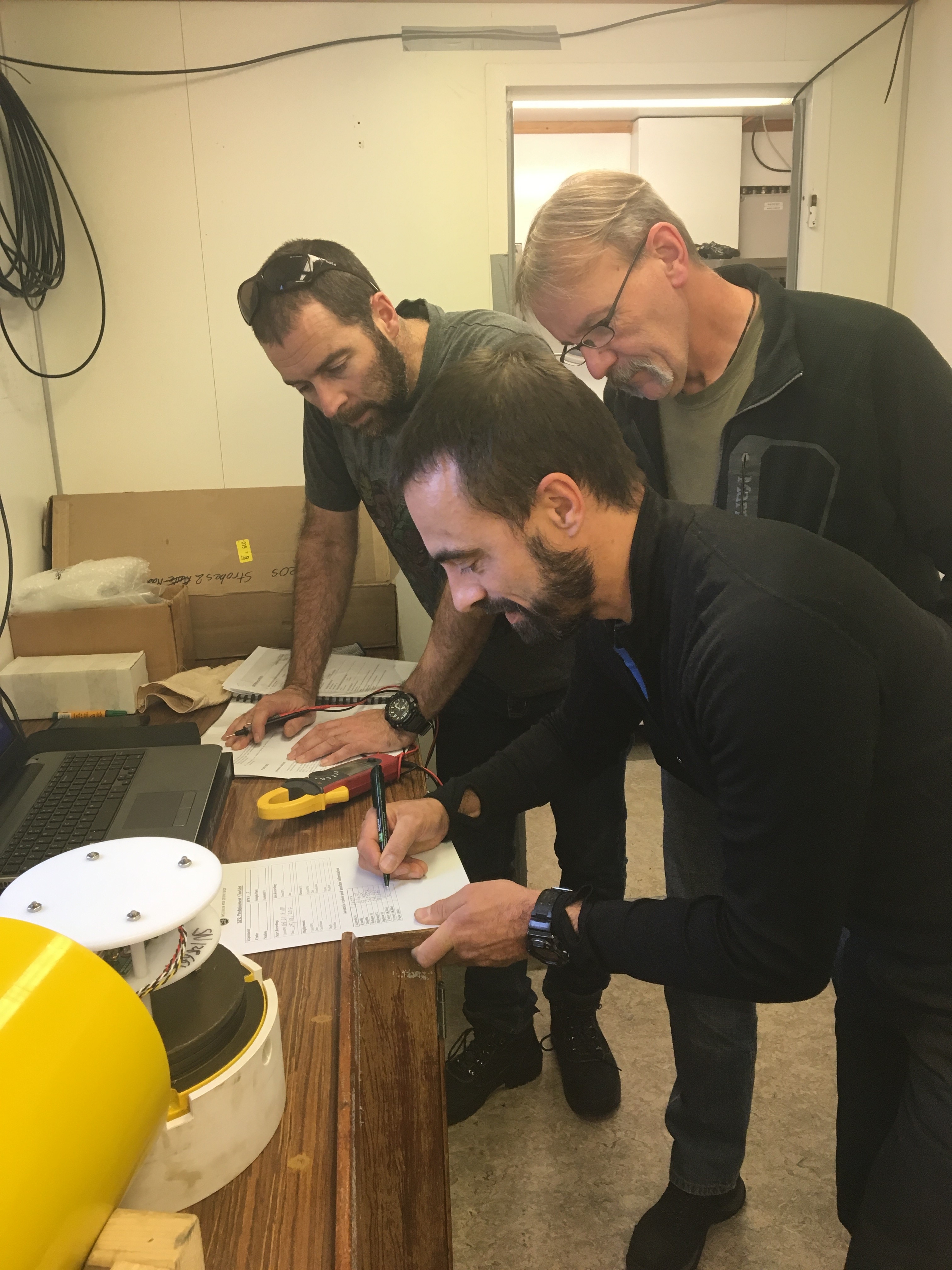
Dutifully assessing the euipment
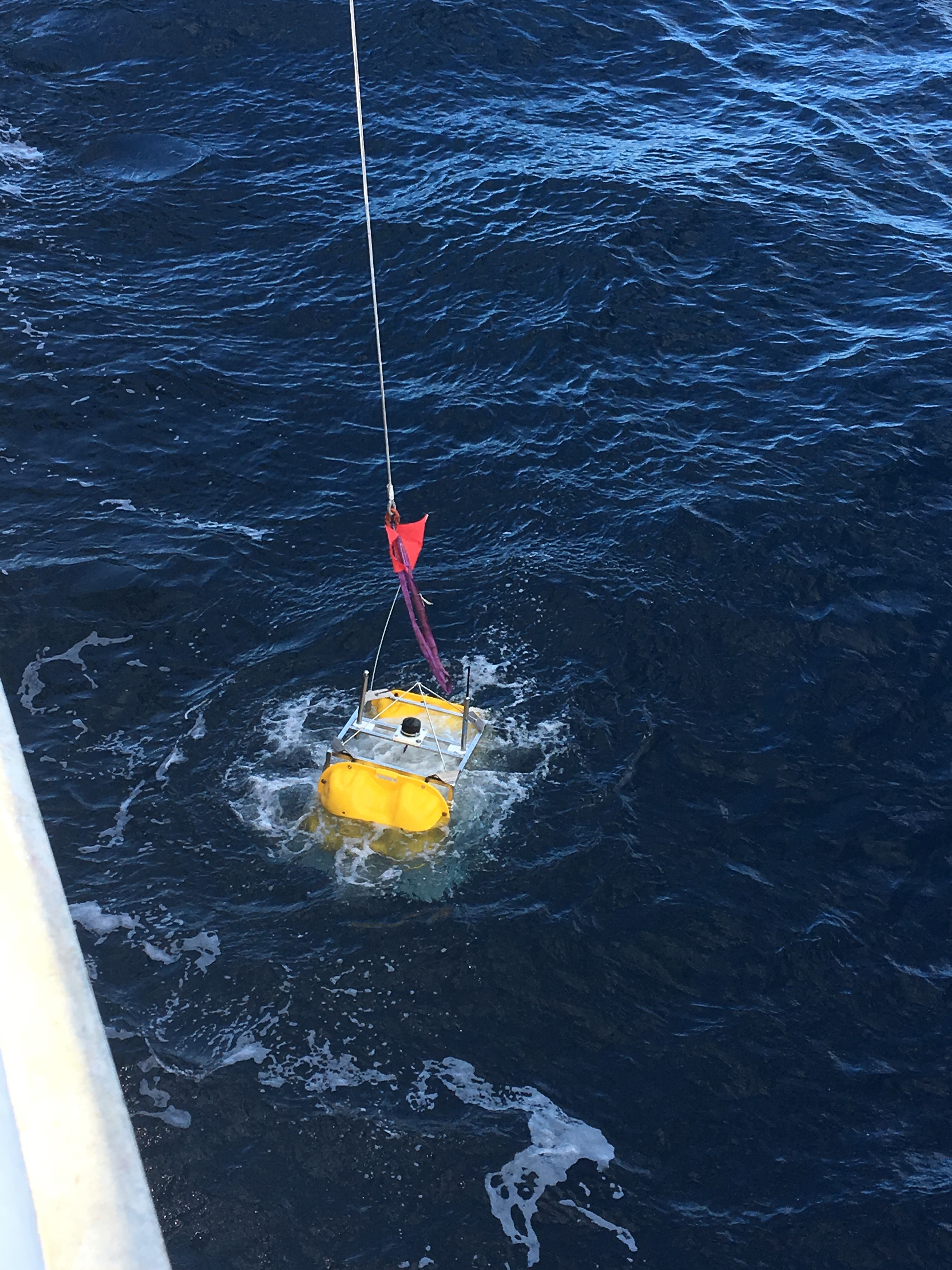
and this is what it looks like when a pressure gauge is lowered into the ocean
Currently the team are about 40km off the coast.
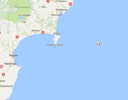
Now it's a complete guess but they could be somewhere here (give or take 40km in any direction)
…With morning views like this
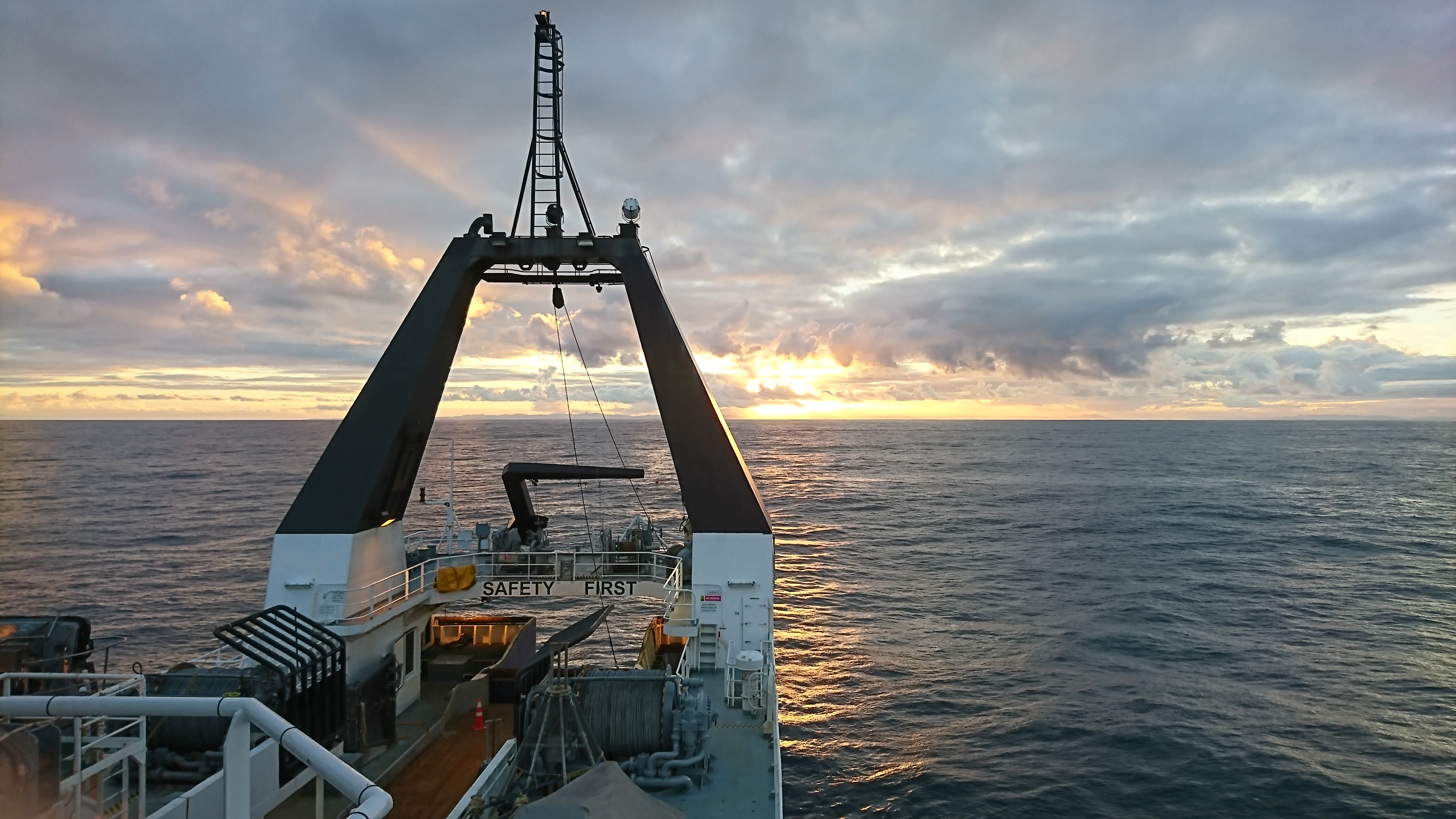
On board the Tangaroa
There are about 10 days of life at sea remaining and Andrew tells us that the crew are aiming to get down to Kaikoura too. We eagerly await Andrew's return to the office to get the full run-down and will keep you updated.
For more information, including a cool blog of the Tangaroa trip, look to our friends at the EC LAB.