
Ex-Tropical Cyclone Dovi - Dob in a landslide
Ex-Tropical Cyclone Dovi wreaked havoc across New Zealand over the weekend (12-13 February), with high winds, rain and damage across the country. Our thoughts are with those who were affected and with everyone working hard in the response and clean up.
As the storm has subsided, we’ve launched a response to map and document the landslides that have occurred throughout the country, and we need your help! You can help us out by ‘dobbing in a landslide’ and sending in information. We’d love photos, but only take them if it is safe to do so! We are interested in landslides from over the past weekend, or other recent ones such as the Buller storm earlier in February.
This will help our research into better understanding the link between rainfall, storm events and landsliding, and feed into better models of what might occur in the future.
How can you ‘dob in a landslide’?
Please email us as much of the following as you can supply – we would be very grateful:
Date and time of the slip/landslide
Location – this can be a street address, distance from a landmark or road. Or pin on google earth/maps.
Size – it would be useful to know if one person could clear the landslide or if heavy machinery would be needed.
Type – was the landslide made up of rocks falling from a cliff, along a road or was it a flow of material rather than a fall? Was anything damaged?.
Photos – these are very useful for us especially views showing the whole landscape.
You can send your landslide emails to landslides@gns.cri.nz. We’ll report back with our findings as we compile the information.
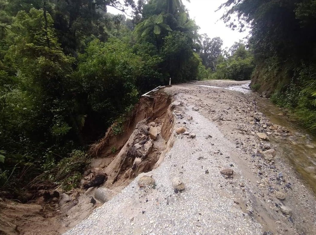
Damage to Totaranui Road on Feb 5. Photo credit to Tasman District Council
A landslide may be triggered by heavy rain or earthquakes, with homes near hills or steep slopes most at risk. They can occur with little or no warning. If you live near a hill or steep slope, watch out for cracks or movement that could be a warning sign. Follow Civil Defence’s advice on what warning signs to look out for, so you can act quickly if you see them.
Media contact: media@gns.cri.nz or 021 574 541