
Monitoring volcanoes during a pandemic
So how do you monitor a volcano if you don't physically go there?
We thought some people might be interested in more details about how we’re monitoring New Zealand’s volcanoes during the COVID-19 lockdown.
In actual fact – not too much has changed. Like others around the world, we have been working to monitor volcanoes remotely for a long time so that we acquire data regularly and continuously. And we don't need to put scientists in harm’s way. So, while some data does require us to go to the volcanoes, we are able to do most of our monitoring remotely – making us very well prepared for COVID-19 lockdown!
What do we monitor?
Activity at a volcano is driven by magma at depth, and as it rises to shallow levels, gases and fluids from this magma interact with a volcano’s geothermal system. This can create seismic, chemical, thermal and visual signals, as well as ground deformation. These main signals are what we monitor. They can give us insights into what may be happening at a volcano – mostly via GeoNet’s network of equipment.
Our seismic data is obtained remotely and transmitted to the data centre in the cloud to be processed. The National Geohazards Monitoring Centre then locates the discrete earthquakes near the volcano. These earthquakes – along with other volcano-induced seismic signals like volcanic tremor – give us an indication of how active a volcano is. While our volcanologists are at home during #StayHomeNZ, they still have full access to this seismic data. It also gets published on our website here.
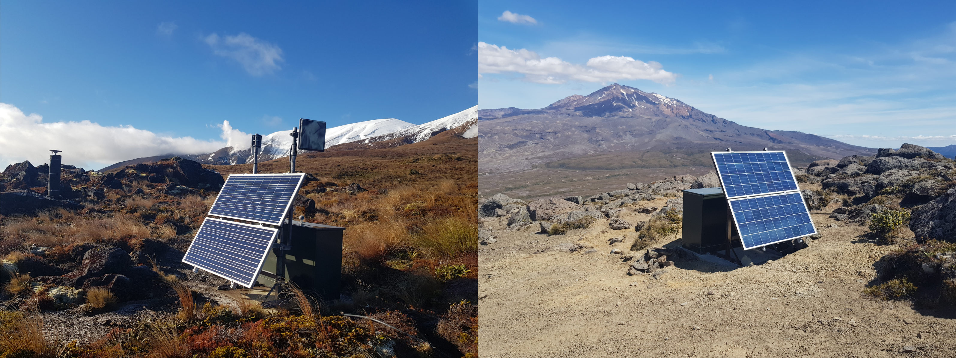
Two of our equipment sites in the Tongariro National Park; sensors include seismic, GPS and a web camera
We are getting gas data from sensors we have at Whakaari/White Island and Tongariro, and additional satellite gas measurements daily could see a larger gas signal. We can also remotely access Crater Lake temperature and water level for Ruapehu.
In addition, we rely on two different methods for obtaining ground deformation (change in shape) data. These are GPS and satellite-based radar (INSAR) data.
A lot of the information we get from water, gas and thermal data does require us to visit (or fly over) the volcano. During lockdown we are not flying over volcanoes, however if the data was mission critical, we would be doing that.
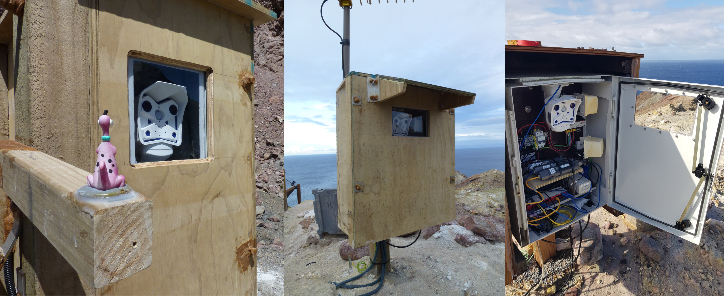
Two of the web camera sites on Whakaari/White Island showing the camera housing and of course, our camera mascot ‘Dino’
We use web cameras to do frequent visual observations – this is useful when we can’t visit our volcanoes. You can take a peek at our volcanoes around the country via our volcano cams too. You might even be lucky enough to spot a rainbow, a beautiful starry night, or the first autumn snow.
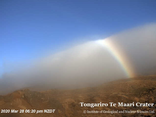
Our volcano cams often capture some stunning sights - recently our Te Maari (Tongariro) cam snapped this rainbow
Active volcanoes always show some sign of volcanic unrest, although eruptions can happen without useful short term warning. Information we get remotely allows us to monitor for changes that could signal increased activity. If we felt more data was needed – from gas flights and visual observations for example – then we would do this. Thankfully, so far during COVID-19 lockdown, we have not seen a need to do so.
More details about all our volcano monitoring – including our monitoring visits – can be found here.
Read our previous article on our remote monitoring capability through the COVID-19 pandemic here.
Attributable to: Brad Scott, GNS Science Volcanologist
Media contact: 021 574 541 or media@gns.cri.nz