
Landslide dam at Kaiwhata River
A team of our landslide experts travelled to a landslide that has dammed the small Kaiwhata River in Wairarapa this week.
The landslide happened late on Saturday 1 June 2019 at a site where a smaller landslide occurred a couple of years ago. The base of this existing landslide gave way and the material flowed down the hill to block a small river.
Our four-person team worked with local council staff to collect data to constrain what may happen at the site in the future and help inform council risk assessments.
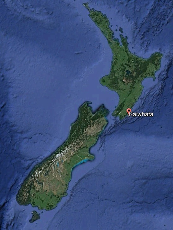
Location of Kaiwhata, Wairarapa
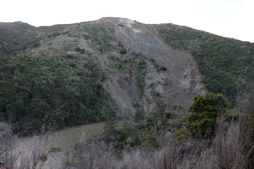
Landslide Dam at Kaiwhata River - Photo credit: Brenda Rosser
The landslide dam that blocked the river has a volume of 100,000m3. The team measured the height of the lowest point on the crest of the landslide dam as 15 metres above original river level. The volume of water in the lake forming behind the dam is 600,000m3.
The water level behind the dam is only about a metre short of overflowing, as the lowest point of the dam is around 15 metres high. The lake behind the dam was filling at a rate of 40mm an hour yesterday and it was expected to spill over the top of the dam at some point today if the lake continued rising at this rate.
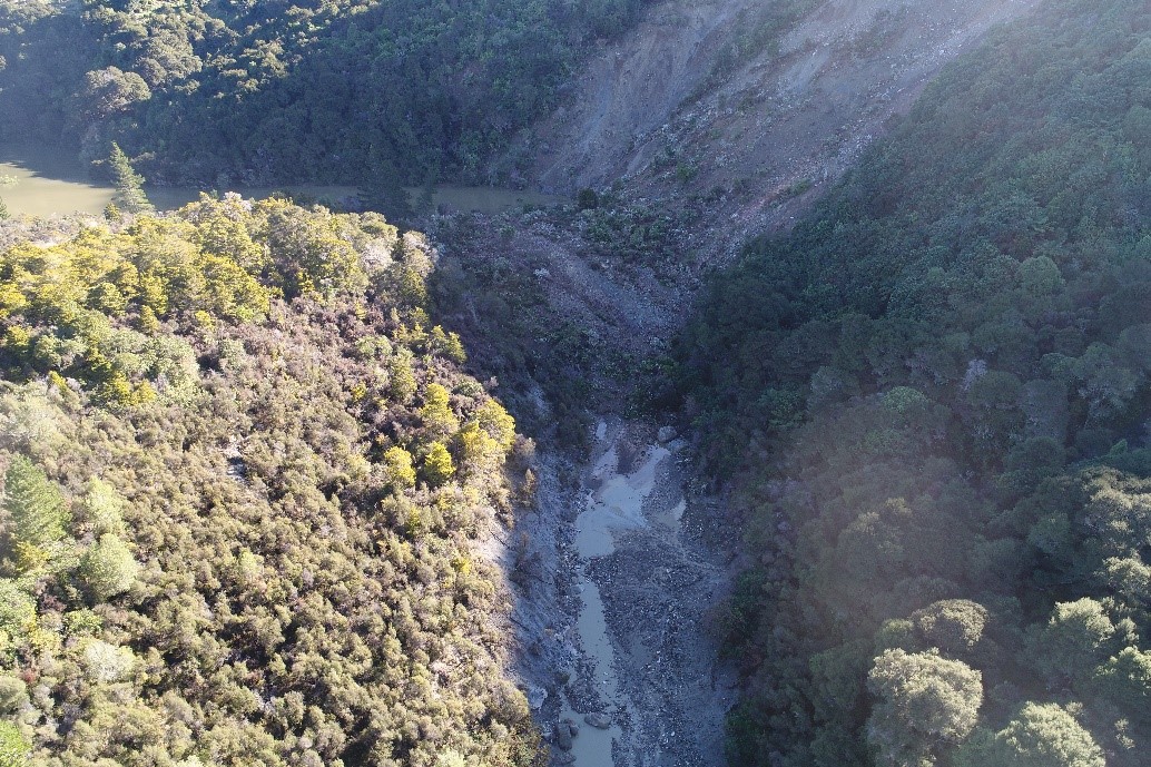
Landslide Dam showing lake building up behind it - Photo credit: Regine Morgenstern
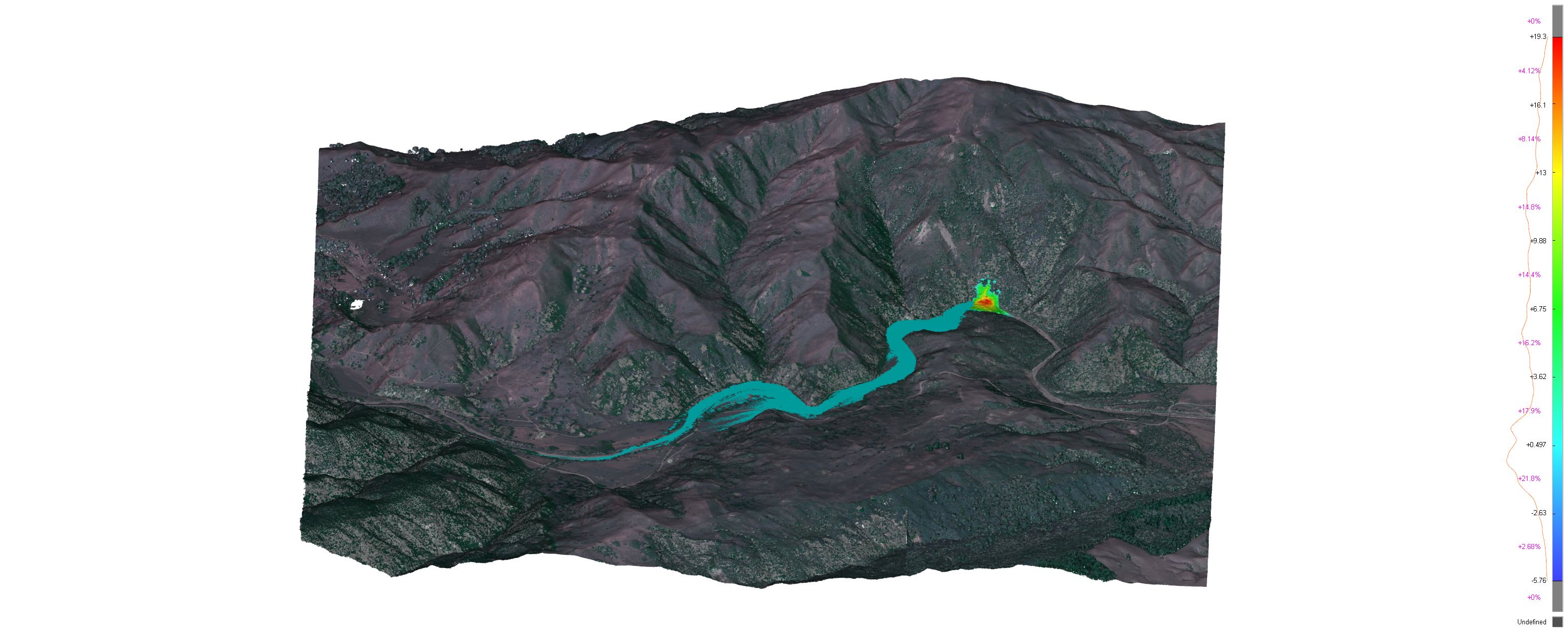
Computer-generated model of landslide dam and upstream flooding.
The team were able to take drone footage and GPS measurements of the dam. Usually our team can use a terrestrial laser scanner to more accurately work out the volume of the landslide deposit, but conditions at the site this week made this impossible.
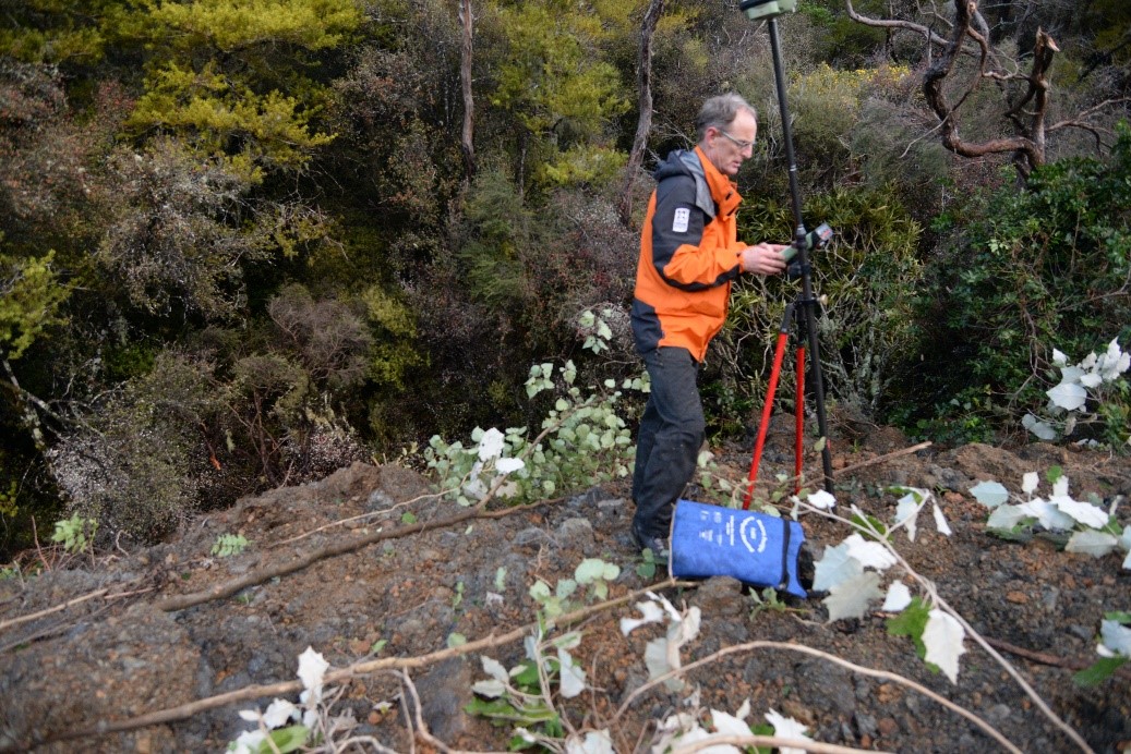
One of our team setting up the GPS base station - Photo credit: Brenda Rosser
Our team are now using the data they have collected to model what possible further flooding upstream could look like and consequences of rapid dam failure at this site. This will be used by councils to help with risk management at the site.
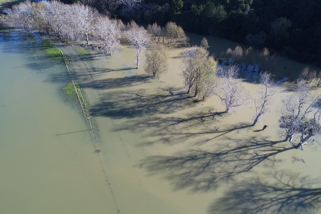
Flooding upstream from the landslide dam - Photo credit: Regine Morgenstern
Landslides occur frequently in New Zealand, especially after earthquakes or periods of heavy rain. Just as we monitor earthquakes, tsunami and volcanic activity, we also monitor landslides to gather data about how the New Zealand landscape is changing, and to inform decisions about keeping the public safe.
To view previous landslide reports, click here.
Attributable to – Brenda Rosser, Landslide Duty Officer
Media enquiries - media@gns.cri.nz or 021 574 541