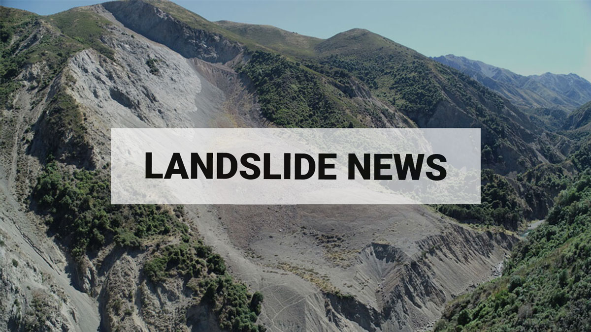
Over 140k landslides mapped following Cyclone Gabrielle
Potentially the largest landslide-triggering event on record in Aotearoa, Cyclone Gabrielle caused thousands of landslides across the North Island. Landslides damaged houses and infrastructure and were directly responsible for the deaths of five people.
To support the emergency response and recovery of this extreme weather event, our landslides experts were called upon to identify and map Cyclone Gabrielle landslides, inform stakeholders where they occurred, and forecast where more could occur in a future event.
As Cyclone Gabrielle was approaching, the landslides team used NIWA rain forecasts, geology data and population and infrastructure maps to identify where landslides would most likely cause the greatest risk to life and lifeline infrastructure. This critical information was shared with emergency responders to support them to prepare for and respond to the life threatening and disruptive effects of landslides.
In Gabrielle’s aftermath, GNS Science sent five teams to undertake aerial reconnaissance of where landslides and damage had occurred in the most heavily impacted regions. The teams also swept for hidden hazards that may trigger without warning, including landslide dams and failing slopes threatening urban property and roads. Images, intelligence, and forecasts were shared with stakeholders daily using a custom mobile app to enable them to prevent further damage and loss of life from potential landslide hazards.
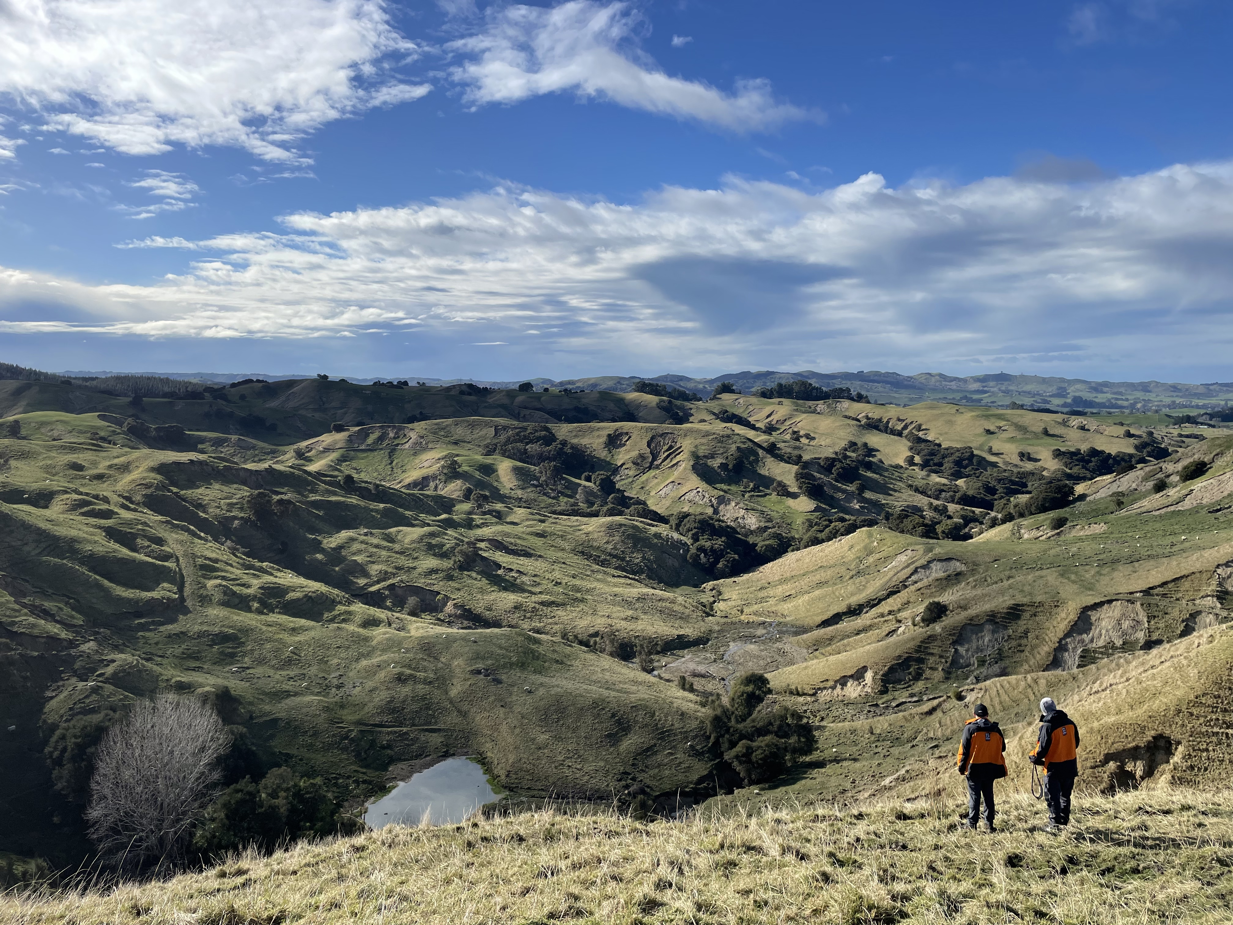
Scientists surveying heavily impacted farmland in Hawkes Bay
The team has identified over 140,000 landslides caused by Cyclone Gabrielle. Creating a spatially accurate landslide inventory of this immense event, that can be simultaneously disseminated to emergency responders, is an ongoing task. A multi-agency team from GNS Science, Manaaki Whenua, and the universities of Canterbury and Auckland is hard at work completing the job. GNS Science Engineering Geologist, Chris Massey, said the inventory is one of the world’s largest landslide datasets directly related to a single storm event.
“This new dataset enables us to link landslide occurrence to the rain that triggered them, allowing us to hindcast the magnitude of the impacts. Our landslide impact models are being retrained on this new dataset, which will be used to forecast the potential impacts more accurately from future landslide triggering events,” Dr Massey said.
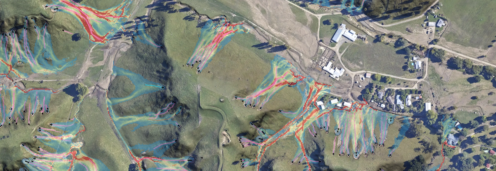
One of the maps produced by the team to represent landslides
Read the full case study on Cyclone Gabrielle landslide response and recovery here.
The Cyclone Gabrielle landslide recovery project is funded $1.45 million by MBIE under the Extreme Weather Research Platform (EWRP), and the GeoNet programme.
A landslide may be triggered by heavy rain or earthquakes, with homes near hills or steep slopes most at risk. If you live near a hill or steep slope, watch out for cracks or movement that could be a warning sign.
Follow Civil Defence’s advice on what warning signs to look out for so you can act quickly if you see them.
Toka Tū Ake EQC has information on how to get your home, apartment, or rental prepared for a natural disaster.
Media contact: media@gns.cri.nz or 021 574 541