
West Coast and Marlborough rainfall-induced landslides
In July, an extreme rainfall event hit the South Island causing widespread flooding. A GNS Science Landslide Response was initiated for the West Coast and Marlborough regions, to determine the extent and impacts of landslides triggered by the heavy rain.
The West Coast Regional Council asked for assistance to capture region-wide information about any potential landslides and their impacts. On Wednesday 21 July, four members of the GNS Science landslide team (Andrea Wolter, Brenda Rosser, Chris Massey, and Dougal Townsend) completed a helicopter reconnaissance flight on the West Coast.
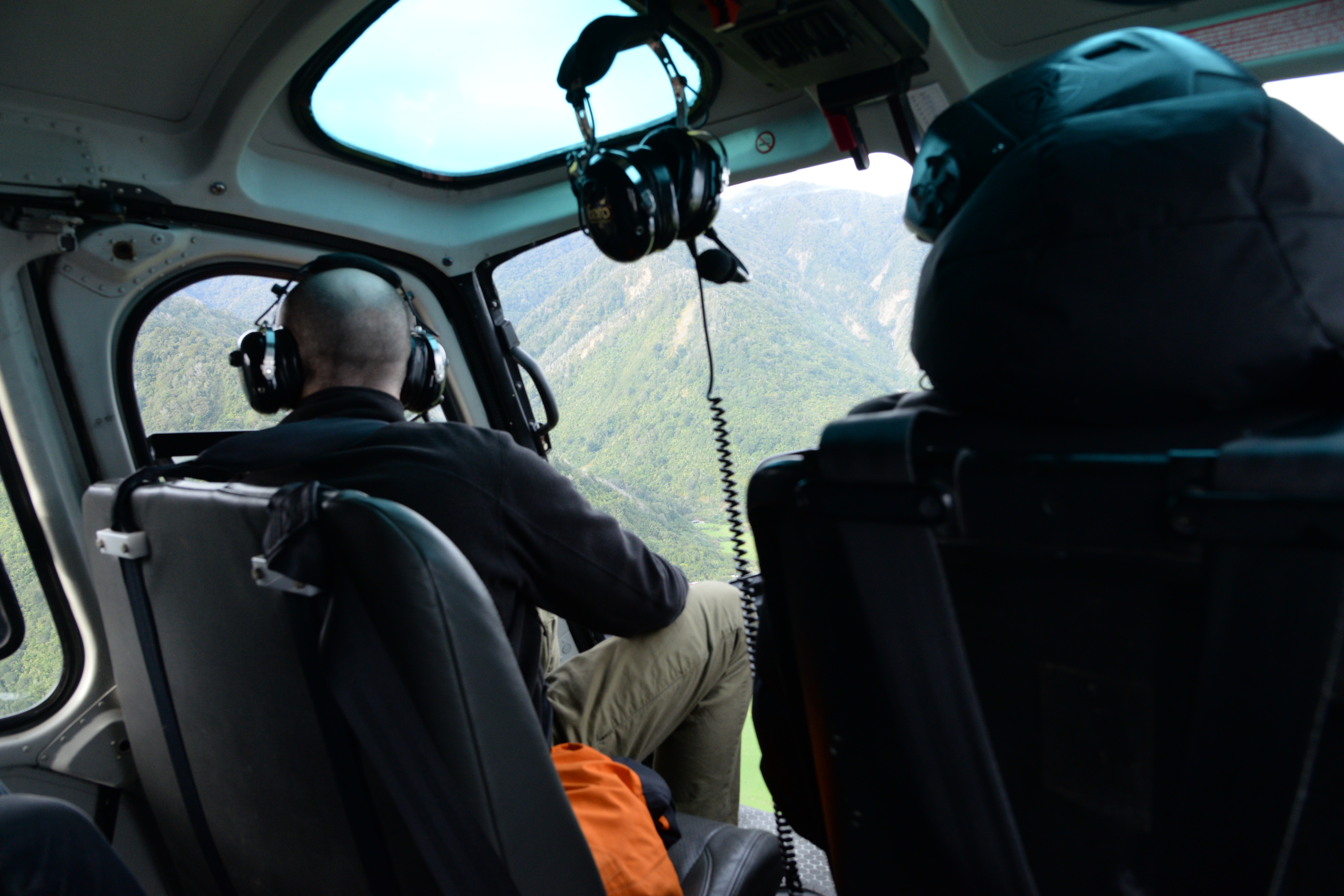
Undertaking a reconnaissance flight on the West Coast
The team flew over areas where there were known landslides, and areas where the heaviest rainfall occurred. The area that was most affected by landslides was the hills around Lake Kaniere. This area had the highest density of landsliding, with many debris flows that reached the lake at several locations. There was also a significant debris flow from an old landslide dam deposit in Ram Creek that was eroded by the stream. A house at Lyell was also hit by a landslide and had been moved off its foundations.
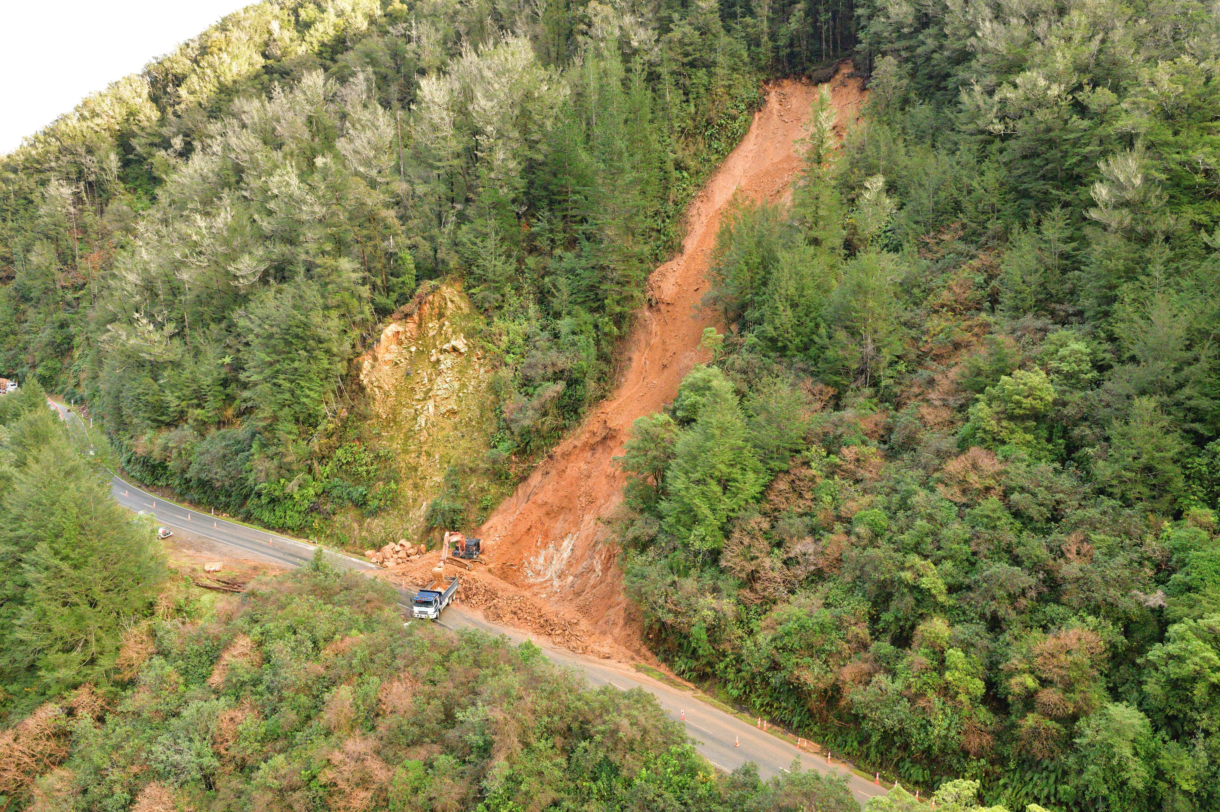
A landslide that blocked SH6 at Lyell on the West Coast.
A second reconnaissance flight was carried out on 25 July over the Marlborough Sounds, assisting Marlborough District Council map and assess the landslide damage to roads and buildings. There were about ten houses that were damaged or inundated by landslide debris, and a further four that were near misses, where landslides occurred near houses, or the debris stopped before hitting a house.
Most of the houses, or baches, that were impacted by landslides were in Pelorus and Queen Charlotte Sounds. Damage from landslides was also notable in areas of forestry that had been recently logged or newly replanted, however, landsides also occurred in areas of native bush, such as in the Wakamarina and Nydia Bay areas.
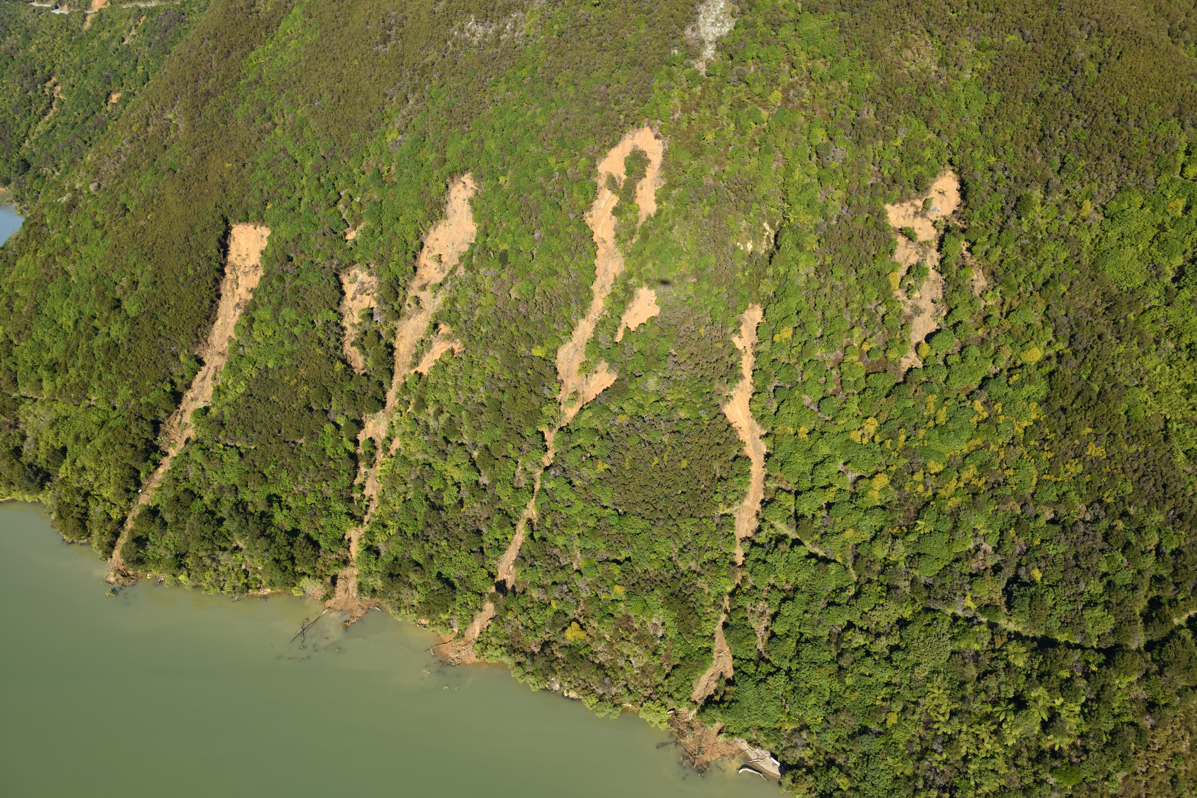
Multiple Slips into Pelorus Sound, at Cullen Point.
Last week, on 4-6 August, a team of landslide scientists and risk analysts visited the impacted houses in the Marlborough Sounds to physically assess and record the damage from the landslides to add to our knowledge/database of landslide impacts. This data will be used to develop probabilities of levels of damage for different types of buildings and building materials, that will be used by RiskScape – a software tool for modelling natural hazards and analysing risk to buildings and infrastructure and people.
The landslide team is currently working to map all the landslides in the West Coast and Marlborough regions triggered by this rainfall event, and several reports will follow.
Attributable to: Brenda Rosser, GNS Science Engineering Geomorphologist
Media contact: media@gns.cri.nz or 021 574 541