National Advisory: Tsunami activity – expect strong and unusual currents and unpredictable surges at the shore following the M8.8 earthquake, Kamchatka Russia. For all information please visit NEMA (The National Emergency Management Agency) Only messages issued by NEMA represent the official warning status for New Zealand.

The GeoNet App
Back in 2012 we released our first smartphone and tablet-based app and now, nine years later, more than a quarter of a million people have our app, and it continues to be the most authoritative source of geohazard information in New Zealand.
Following the Canterbury earthquakes over a decade ago, after feeling shaking people would eagerly await the detailed information to appear on the GeoNet Website and then complete a ‘felt report’ to describe their shaking experiences. These days that information is sent direct to your phone, within minutes via our GeoNet Quake app.
If you don’t yet have the GeoNet app yet you can download it now on your Android and iOS devices, and then read more below on its great features.
Earthquake information and alerts
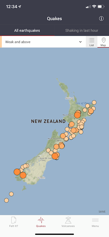
Details of all earthquakes located in and around New Zealand are available on the app within a few minutes of their occurrence. You can also set notifications of earthquakes by proximity to your current location (using your phone’s GPS), or you can set up alerts for multiple locations and earthquake intensities. For our technical users you can view peak ground accelerations (PGA) and velocities (PGV) recorded by our seismograph network on a map.
Felt an earthquake?
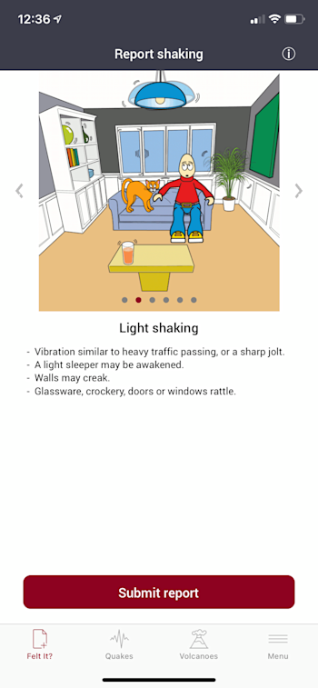
In the app it’s quick and easy to submit ‘felt reports’ during, or up to one hour following an earthquake. You can also view felt reports from around the country alongside shaking levels recorded by our seismograph network.
Volcano information
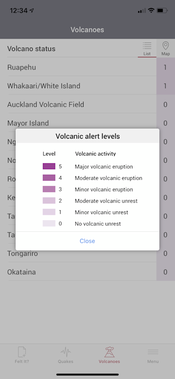
As well as keeping tabs on the current status of volcanoes in New Zealand, we also send out Volcanic Alert Bulletins to the app, to keep you updated on any changes in volcanic activity. You can select to turn these notifications on under settings in the app.
Recent news stories
You can easily keep up to date with our latest news and be alerted when we post something new.
For all of you that have the app, thanks for being a part of the GeoNet community!
Media enquiries - media@gns.cri.nz or 021 574 541


