Whakaari/White Island activity limited to steam and gas emissions. Volcanic Alert Level remains at level 2 and Aviation Colour Code remains Yellow.
Based on observations from a recent observation flight, webcam and satellite imagery, we can confirm no further ash emissions have been detected at Whakaari/White Island. Emissions are limited to steam and gas emissions. The Volcanic Alert Level remains at level 2 and the Aviation Colour Code remains Yellow.
Observations from a recent observation flight, the GeoNet cameras in the Bay of Plenty and satellite imagery over the past few weeks have confirmed there are only steam and gas emissions occurring, with no accompanying ash emissions from the volcano. Our colleagues at MetService have also not detected volcanic ash in the observed plumes using satellite imagery.
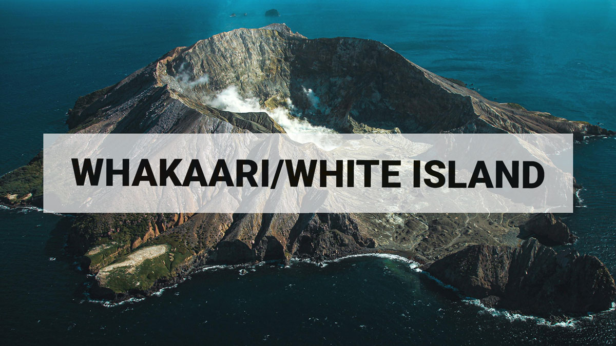
The recent observation flight did confirm there has not been any further ash emissions or major changes in the active vent configuration. Vent emission temperatures have declined significantly (from 465 °C on 6 May down to 107 °C 24 June). When weather conditions have allowed, we have seen 3 strong recommencements of steam and gas emission creating tall plumes above the island (400-500 m high) and well observed from the Bay of Plenty coast. No ash emissions were observed at these times. During the observation flight, we recorded evidence of fresh impact craters near the active vent, though their timing is unknown.
As conditions allow, we will continue to conduct gas and observation flights to confirm the status of ongoing unrest activity. Data collected during overflights includes visual observations of the active vent morphology and activity, gas flux, and vent temperatures. Sulphur dioxide (SO₂) emissions are also monitored by satellite. The Te Kaha and Whakatāne web cameras continue to provide observations of the plumes' status, but local weather conditions may impact how the activity appears from the Bay of Plenty coast.
Based on the recent observations we confirm the level of volcanic activity remains low and the Volcanic Alert Level remains at level 2 (moderate-heightened unrest) and the Aviation Colour Code remains Yellow. These levels acknowledge the current level of activity but also reflect the degree of uncertainty about the unrest level due to the current lack of real-time monitoring data from the island – volcanic activity could escalate with little or no warning. Further sudden, more explosive events could therefore affect the crater floor area and immediate vicinity of the island.
Earth Sciences NZ Volcano Monitoring Group and National Geohazards Monitoring Centre will continue to closely monitor Whakaari/White Island for any changes in activity. Without sensors on the Island, our monitoring continues to rely on remote cameras, satellite imagery, and periodic observation and gas flights to monitor Whakaari/White Island. We will provide further updates when information becomes available.
Further information about the Volcanic Alert Levels and what they mean can be found here. For information about the impacts of the steam and gas plume should it reach the coast, follow the advice from:
• Bay of Plenty Emergency Management
• NEMA: What to do during volcanic activity
• Toi Te Ora Public Health: Volcanic Activity
Brad Scott
Duty Volcanologist
Media contact: 021 574541 or media@gns.cri.nz