
Earthquakes south of New Zealand
On 4 August 2019 two large earthquakes occurred south of New Zealand in the Snares Islands/Tini Heke.
The quakes, M5.6 (12:11pm) and M6.3 (11:44pm), were lightly felt at the bottom of the South Island with less than 100 people submitting a felt report for each quake. These quakes were similar to this quake that we wrote about in 2017.
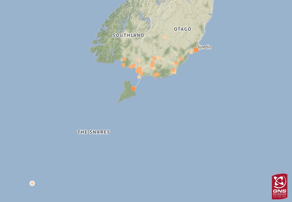
98 felt reports from the M6.3, 11:44pm 4 August 2019 quake.
After receiving an app notification letting you know there’d been a quake near Snares Islands/Tini Heke, we know hundreds of you popped onto the website to have a closer look. So, we thought now’s a good time to look at why we get earthquakes there!
Snares Islands/Tini Heke are about 100 kilometres south of Stewart Island. The Snares are New Zealand’s northernmost subantarctic islands and are often used as the geographic reference point for quakes that occur many kilometres south of New Zealand.
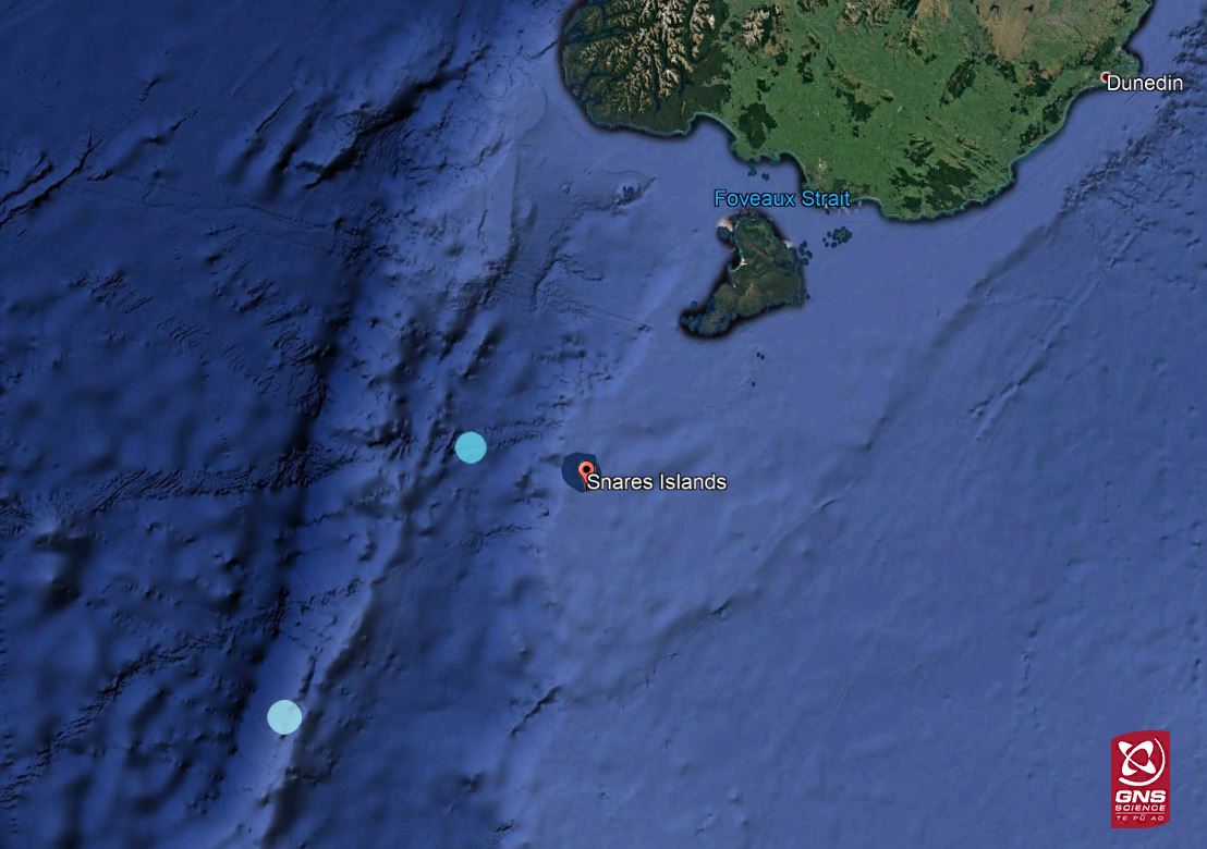
Location of Snares Islands/Tini Heke south of New Zealand. The dot closest to Snares Islands is the M5.6, 33km depth quake and the dot to the south is the M6.3, 12km depth quake.
In this region, the Australian Plate is subducting eastward under the Pacific Plate and causes stress and pressure throughout the region that is released as earthquakes. This is the same process but in the opposite direction to the North Island and top of the South Island, where the Pacific Plate is subducting westward under the Australian Plate off the east coast.
The plate boundary in this southern region is called the Puysegur Trench. In the middle of the South Island, both tectonic plates are sliding past each other along the Alpine Fault.
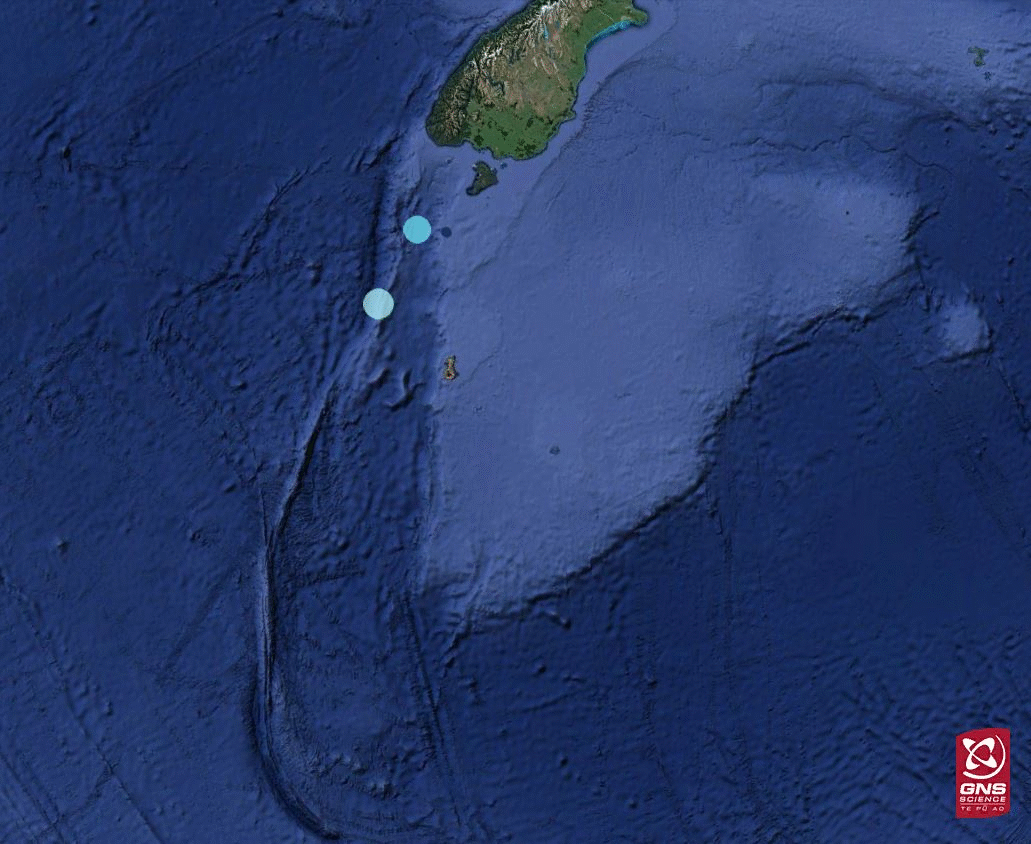
This animation shows the location of the quakes in relation to the Puysegur Trench and subduction zone. The red line shows the approximate location of this plate boundary, and the yellow arrows show the approximate direction of Australian Plate movement.
This weekend’s earthquakes were not large enough to produce a tsunami, but larger quakes in this region do have the potential to cause tsunami.
It is important to remember that in seismically active zones, large earthquakes can occur at any time. If you are near the coast and feel a long or strong earthquake move immediately to the nearest high ground, or as far inland as you can.
New Zealand’s entire coastline is at risk of tsunami inundation – it’s part of the risk of living on such an active plate boundary in the middle of the ocean. It’s important that people know the correct actions to take for a tsunami and how to stay informed - via radio, Emergency Mobile Alerts, social media, and the Ministry of Civil Defence & Emergency Management (MCDEM) website.
Media enquiries: media@gns.cri.nz or 021 574 541