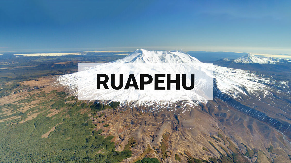
Earthquake swarm near Ruapehu - minor volcanic unrest continues. Volcanic Alert Level remains at 1.
A swarm of small, relatively deep, earthquakes lasting two days occurred east of Ruapehu early last week. However, there have been no significant changes to the volcano observed following the earthquakes. Te Wai ā-moe (Ruapehu Crater Lake) temperature remains stable at about 12°C. We continue to record emissions of volcanic gas indicating heat and gas flow from depth is occurring. The Volcanic Alert Level remains at 1 and the Aviation Colour Code at Green.
A swarm of small, relatively deep, earthquakes lasting two days occurred east of Ruapehu early last week. However, there have been no significant changes to the volcano observed following the earthquakes. Te Wai ā-moe (Ruapehu Crater Lake) temperature remains stable at about 12°C. We continue to record emissions of volcanic gas indicating heat and gas flow from depth is occurring. The Volcanic Alert Level remains at 1 and the Aviation Colour Code at Green.
Since our last update in May, the temperature of Te Wai ā-moe (Ruapehu Crater Lake) has declined from ~17 °C to ~12 ºC. Observations from a visit on 8 June confirmed the presence of sulphur slicks on the lake surface, usually related to hot fluids entering the lake floor melting sulphur. The lake was also observed overflowing, indicating that there continues to be inflow of hydrothermal fluids into the lake. Heat flux modelling indicates there is a continuous heat input of between 0 and 100 MW.
Sulphur dioxide emissions measured by our continuous gas emission detectors continue to show low-level, but continuous, gas emissions ranging from ~0 to 150 tonnes per day. The new multigas sensor system at the lake outlet has been recording continued gas fluxes of carbon dioxide (CO₂), and sulphur dioxide (SO₂).
Despite the swarm of nearby earthquakes, a lack of other observable changes at Ruapehu indicates that the volcano continues to exhibit typical background activity. When weather permits, we will be conducting further gas flights and sampling Crater Lake fluids to monitor any changes closely.
In summary our recent observations are consistent with minor volcanic unrest, therefore, the Volcanic Alert Level remains at 1 and the Aviation Colour Code remains Green.
More information:
Mt Ruapehu is an active volcano and has the potential to erupt with little or no warning when in a state of minor volcanic unrest.
The Volcanic Alert Level reflects the current level of volcanic unrest. The Volcanic Alert Level should not be used to forecast future activity.
Volcanic Alert Level 1 indicates the primary hazards are those expected during volcanic unrest: steam discharge, volcanic gas, earthquakes, landslides, and hydrothermal activity. While Volcanic Alert Level 1 is mostly associated with environmental hazards, potential for eruption hazards also exists and eruptions can still occur with little or no warning. Volcanic Alert Levels 3, 4 and 5 are reserved for eruptions with varying impact distances.
For information on access to the Mt Ruapehu area, please visit the Department of Conservation’s website on volcanic risk in Tongariro National Park and follow the DOC Tongariro Facebook page for further updates.
For information about responding to volcanic activity there are guidelines from the National Emergency Management Agency
Earth Sciences NZ Volcano Monitoring Group and the National Geohazards Monitoring Centre continue to closely monitor Mt Ruapehu for further changes.
Geoff Kilgour
Duty Volcanologist
Media contact: 021 574 541 or media@gns.cri.nz